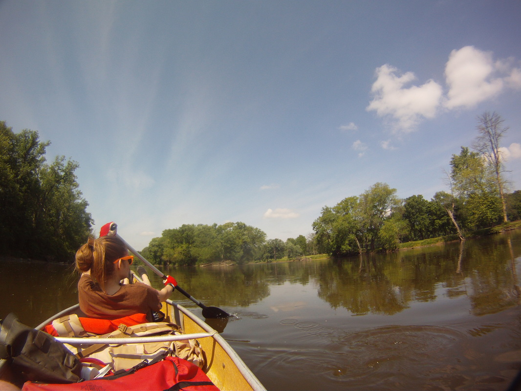
My wife and I wrapped up a 35 mile trip down the Fox river, starting in Yorkville, and ending in Ottawa. We passed through Millington, Sheridan, Whedron, and Dayton. We wound up doing 13 miles on day 1, and 22 miles on day 2. Yes, somehow we muscled out 22 miles and one .5 mile portage in one day. Thank you bad weather forecast! Overall, it went well.
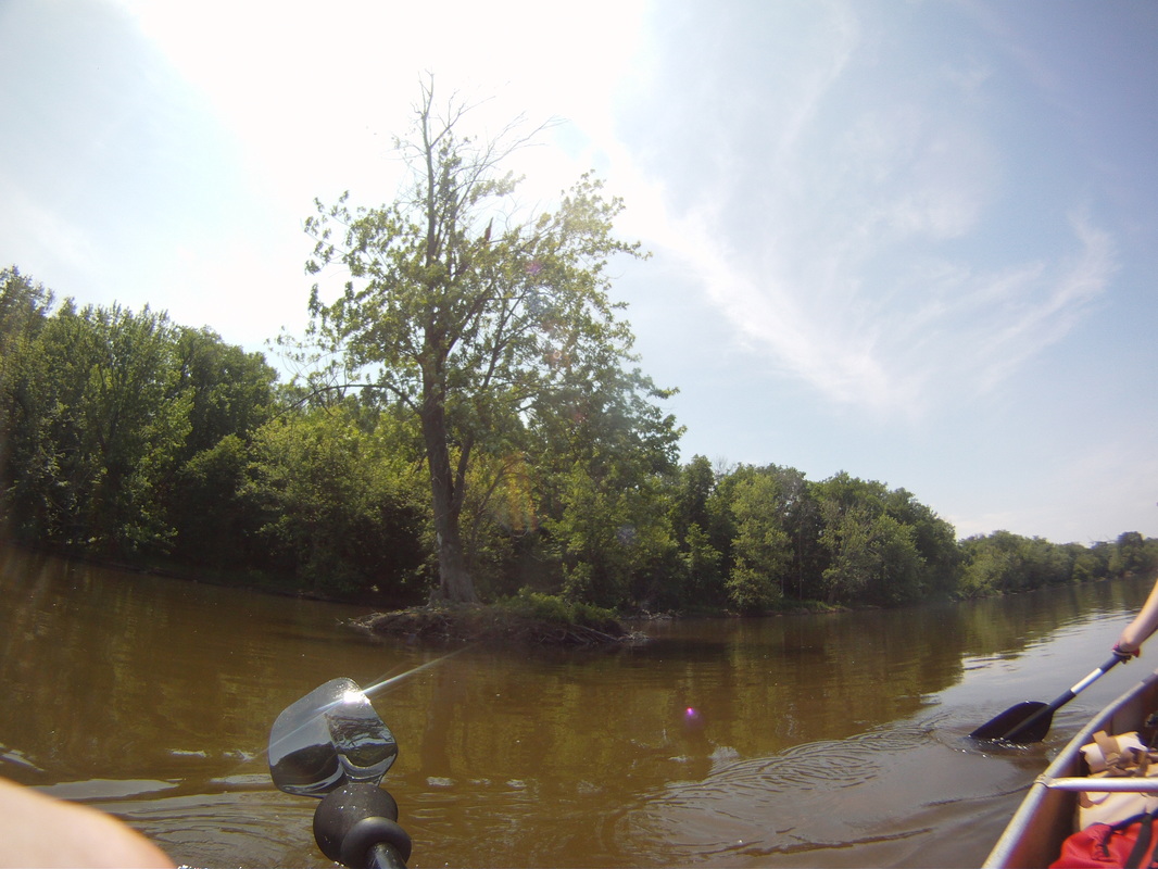
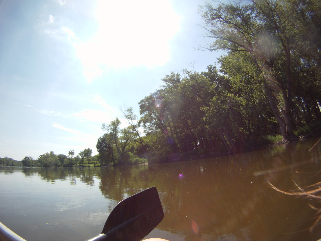
The first leg was Yorkville to Sheridan area. It was a calm part of the river, with many trees and animals, nothing terribly outstanding. It was nice and relaxing though. The current was strong, and we were able to coast a while. There were no dams or major obstacles for this point. Finding suitable campsites was an issue, but there are 4-5 decent options once you start hitting the last few islands before Sheridan.
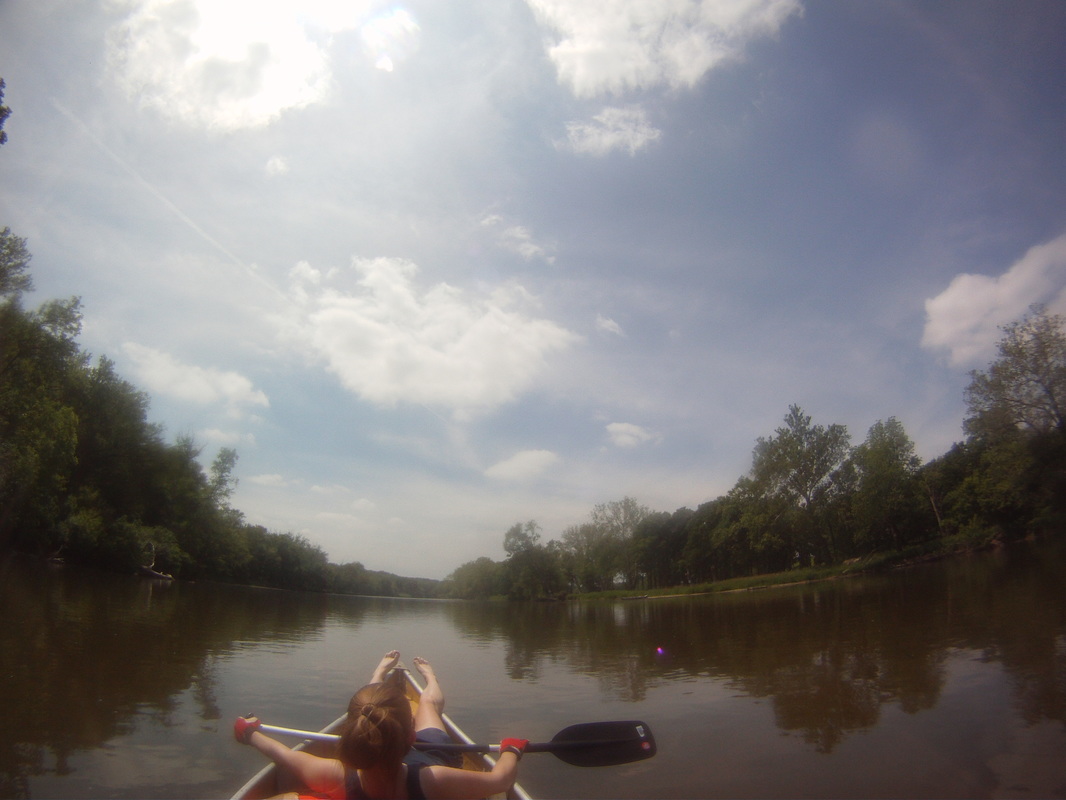
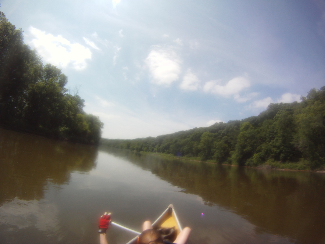
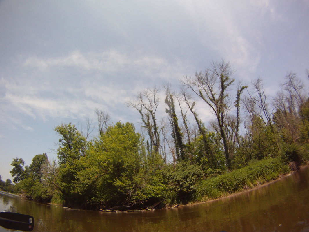
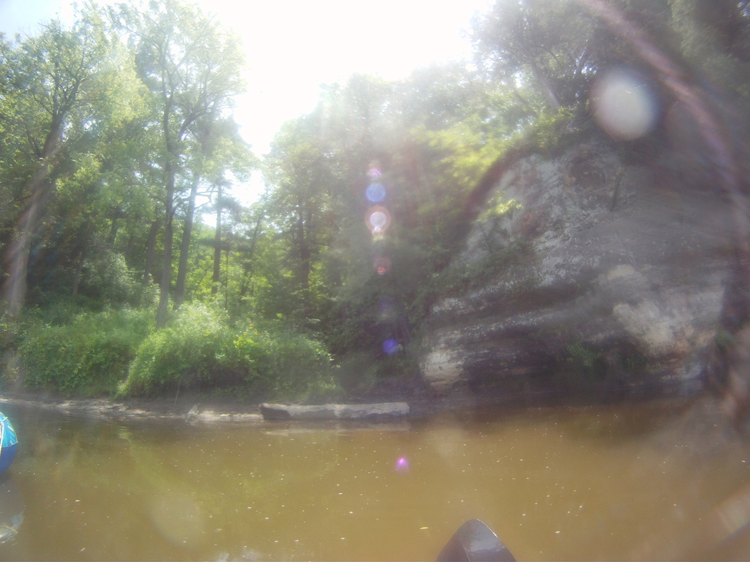
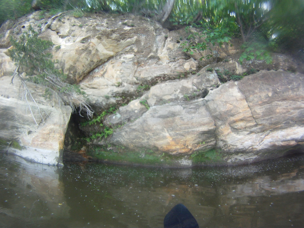
Our second leg was Sheridan to Dayton. This was the best part of the trip, because of all of the dell areas. The rock formations rival the Starved Rock area. They start shortly after Sheridan, and continue until just north of Whedron. It is something that has to be seen. The water flow is nice. please note, there are a couple of canoe rental locations in that segment, and they special in providing drunk and loud boaters, who are just aiming to drink and float.
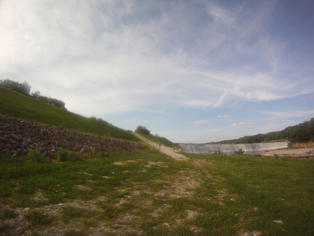
After you pass Whedron, the current dies, and you have to muscle 4 miles to the dam. At the dam, you have a rough uphill and downhill portage to get back in the water. There is a parking lot to potentially end the trip, and next time, that is what I'll do.
After you pass Whedron, the current dies, and you have to muscle 4 miles to the dam. At the dam, you have a rough uphill and downhill portage to get back in the water. There is a parking lot to potentially end the trip, and next time, that is what I'll do.

The last leg was the hardest and not exactly worthwhile. The current picks back up about a mile past the dayton dam (around rt. 80). There is next to nothing for camping areas though. Looking back, we should have just stayed at 1 of the 2 campgrounds provided at the dam portage. All islands are overgrown, and all banks are steep, making it very hard to get a boat up.
Ottawa is not for canoes. There are way too many rookie powerboat owners who are oblivious as to how much wake they are creating. We came close to spilling on 3 different occasions. I doubt I'll every canoe through there again. Kayak might have been a bit better, but it was really wakey.
Ottawa is not for canoes. There are way too many rookie powerboat owners who are oblivious as to how much wake they are creating. We came close to spilling on 3 different occasions. I doubt I'll every canoe through there again. Kayak might have been a bit better, but it was really wakey.
To summarize:
Yorkville to Millington is a simple float, very remote.
Millington to Sheridan is just as remote.
Sheridan to Whedron involves the awesome dell areas
Whedron to Dayton dam is a hard paddle on a wide river, with not as much scenery
Dayton to Ottawa has some scenery, but is a trap for small boats.
Yorkville to Millington is a simple float, very remote.
Millington to Sheridan is just as remote.
Sheridan to Whedron involves the awesome dell areas
Whedron to Dayton dam is a hard paddle on a wide river, with not as much scenery
Dayton to Ottawa has some scenery, but is a trap for small boats.
 RSS Feed
