This past weekend, I went to the Wisconsin Dells. There's a solid 42 mile trip from Castle Rock Dam to Portage WI. There is just one portage, a long one in the middle in downtown WI dells. The plan is to paddle 10-14 miles on day one, and find camping somewhere in the islands. Day 2 takes you through a lake, portage, and then back into the lower dells area. Day 3 is all river, taking you out to the end.
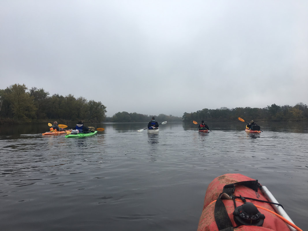
I did this trip with group of 5 others. 3 had never kayak camped before. 2 had gone on a few trips, to say the least. In mid October, highs were in the upper 50s, and lows in the low 40s. Not too cold, and not a lot of bugs.
I did this trip with group of 5 others. 3 had never kayak camped before. 2 had gone on a few trips, to say the least. In mid October, highs were in the upper 50s, and lows in the low 40s. Not too cold, and not a lot of bugs.
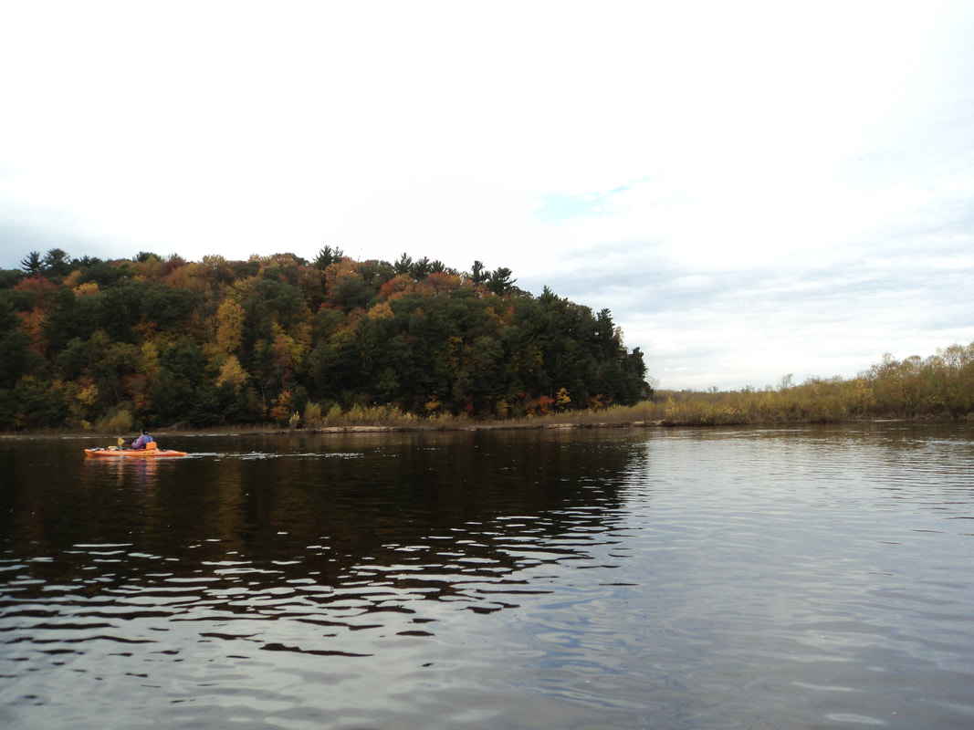
Day 1 was windy. We made it about 12 miles. We started around noon with a car swap. We left all boats and gear at start, drove to end, then hired a taxi to take us back to the start. Little back and forth, but saved us travel at the end.
The wind was constantly in our face all day, making it a bit of a struggle. We hit the 7 mile bridge around 3:30, a bit behind pace. Fortunately from there, the current picked up and things got moving. We passed through the canyon around the 10 mile marker and had no issues despite choppy wind.
Day 2 was a mixed bag. The water was calm in the morning, leading to a smooth paddle through the open lake area and then through the narrows and into the dells. We took our time going through the scenic dells, so hit the portage right at noon. We'd get back into the water around 2pm, after lunch and portage.
The portage takes forever, as you go uphill, through a big parking lot area around a power plant, then back down a hill. I'm happy to report that they've widened the last part going downhill, so it was much easier to traverse. There are clear maps marking the route, and signs along the way.
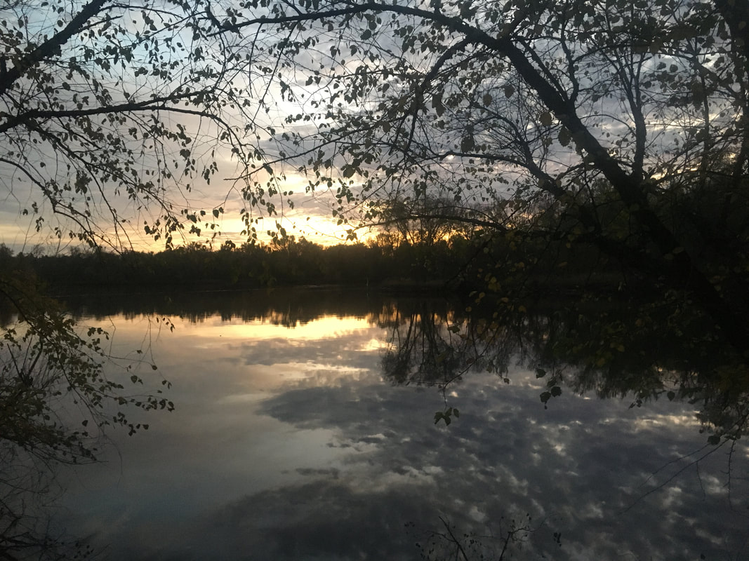
The second half of day 2 it began to rain and mist. This would last from 2-8pm, and eventually got us all wet and cold. We'd find a decent beach somewhere in the pine islands, around the 32 mile marker. Once the rain cut off, we were able to start up a fire and have some dinner.
The wind was constantly in our face all day, making it a bit of a struggle. We hit the 7 mile bridge around 3:30, a bit behind pace. Fortunately from there, the current picked up and things got moving. We passed through the canyon around the 10 mile marker and had no issues despite choppy wind.
Day 2 was a mixed bag. The water was calm in the morning, leading to a smooth paddle through the open lake area and then through the narrows and into the dells. We took our time going through the scenic dells, so hit the portage right at noon. We'd get back into the water around 2pm, after lunch and portage.
The portage takes forever, as you go uphill, through a big parking lot area around a power plant, then back down a hill. I'm happy to report that they've widened the last part going downhill, so it was much easier to traverse. There are clear maps marking the route, and signs along the way.
The second half of day 2 it began to rain and mist. This would last from 2-8pm, and eventually got us all wet and cold. We'd find a decent beach somewhere in the pine islands, around the 32 mile marker. Once the rain cut off, we were able to start up a fire and have some dinner.
Day 3 was very straightforward. We paddled 10 miles through the wider portion of the river. Eventually you see a bridge, as you get into portage. That's roughly the 3 miles to go marker. You scoot under two bridges, then go to the takeout on the left.
Overall, it was a great trip. Nothing too crazy compared to previous trips. In October, there wasn't much speedboat traffic to contend with. The elements were a challenge, but nothing we couldn't overcome. The Wisconsin river can be a big challenge, but overall goes pretty smooth with its many islands and sandbars.
Overall, it was a great trip. Nothing too crazy compared to previous trips. In October, there wasn't much speedboat traffic to contend with. The elements were a challenge, but nothing we couldn't overcome. The Wisconsin river can be a big challenge, but overall goes pretty smooth with its many islands and sandbars.
 RSS Feed
