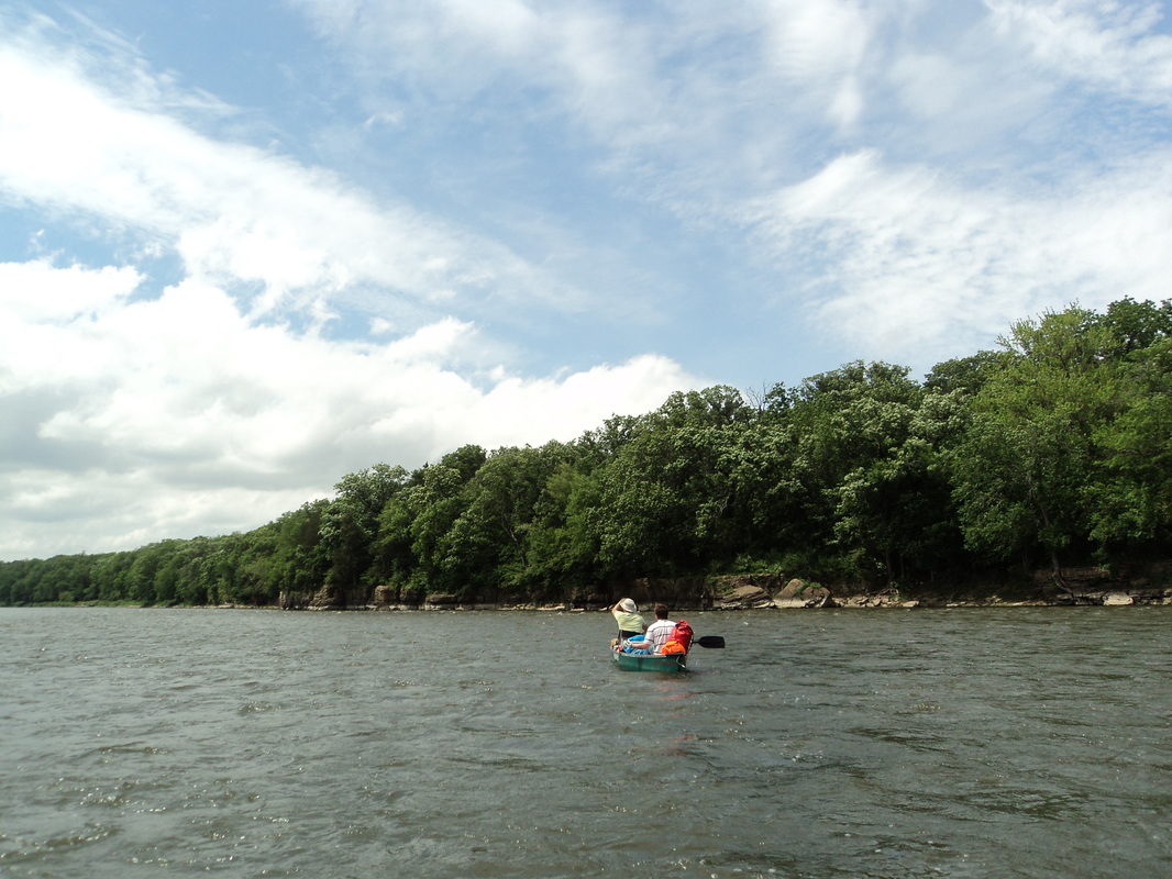
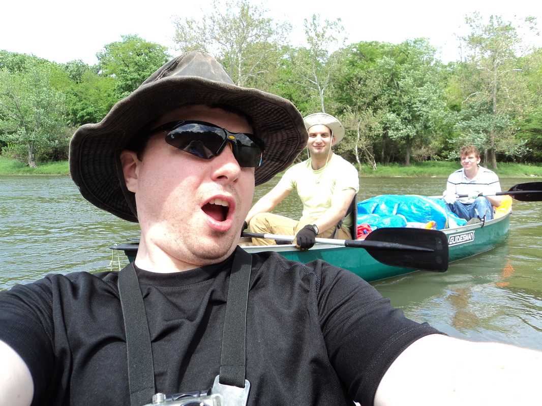
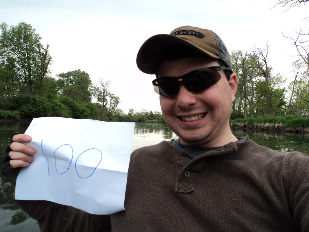
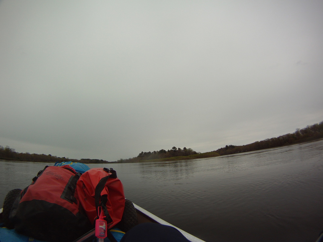
For Memorial Day, me and two friends took a 42 mile trip down the Kankakee and Illinois Rivers. We started in downtown Kankakee, and ended in Morris. It was me in my kayak, and two camping rookies in a canoe. Weather and currents were pretty good, but I've got a ton of tips and lessons learned from this past weekend.
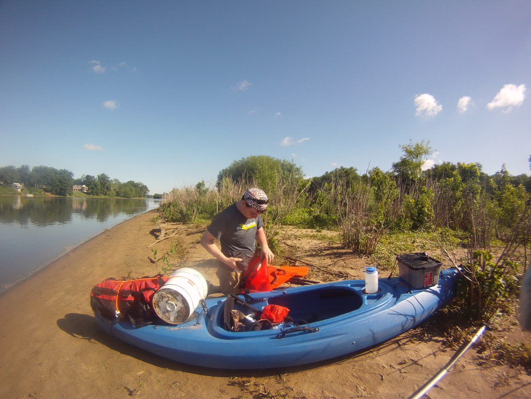
We started at Bird Park in Kankakee, and ended at Stratton State Park in Morris. We drove our gear to the starting point, dropped it all off (leaving one guy there to load boats/watch over). Then me and a friend took our two cars to the endpoint, and we parked in a lot just south of the Morris post office. We then got a ride back to the start, courtesy of craigslist. From there we left on our trip, with the cars waiting at the end.
Morris has an "enforce on complaint" 48 hour parking law. Fortunately, our cars were fine, despite being parked there for closer to 52 hours. The lot we left them in had no marked restrictions either. No car damage, no tickets, what a relief!
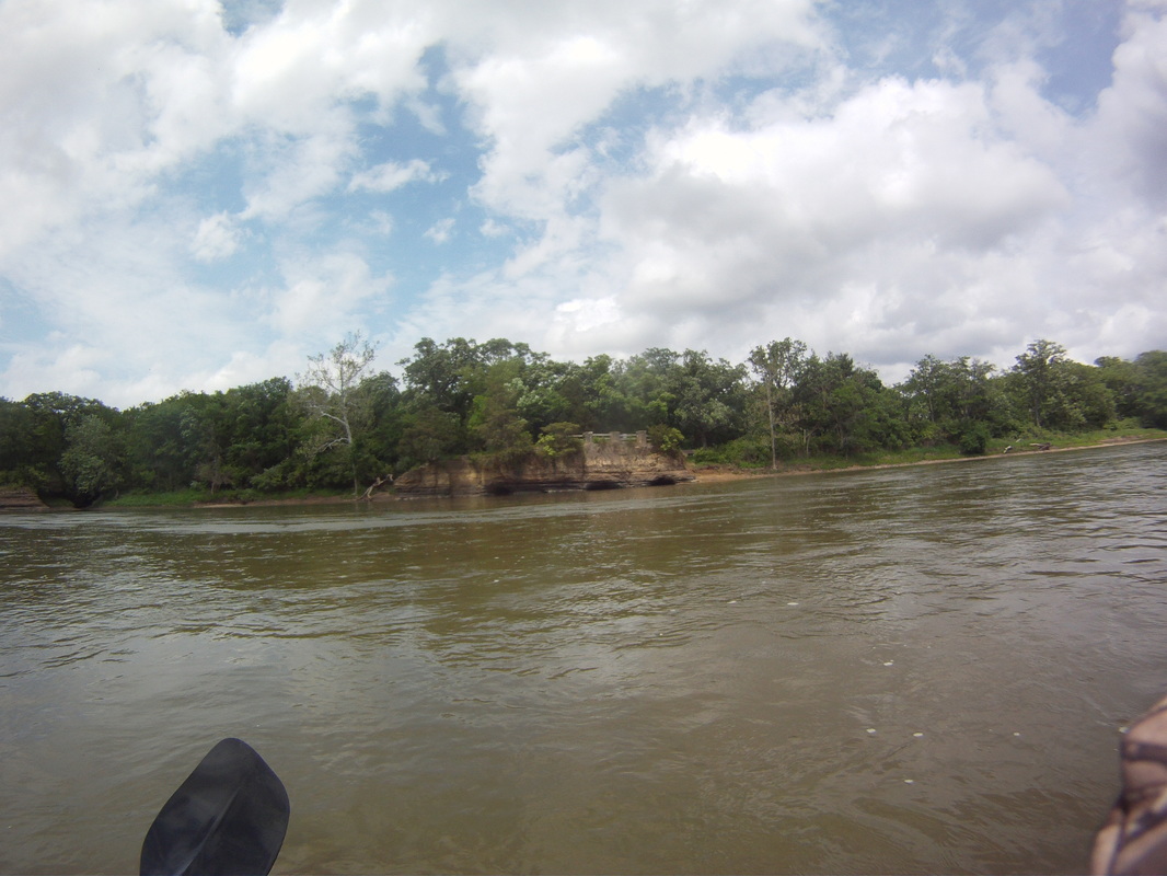
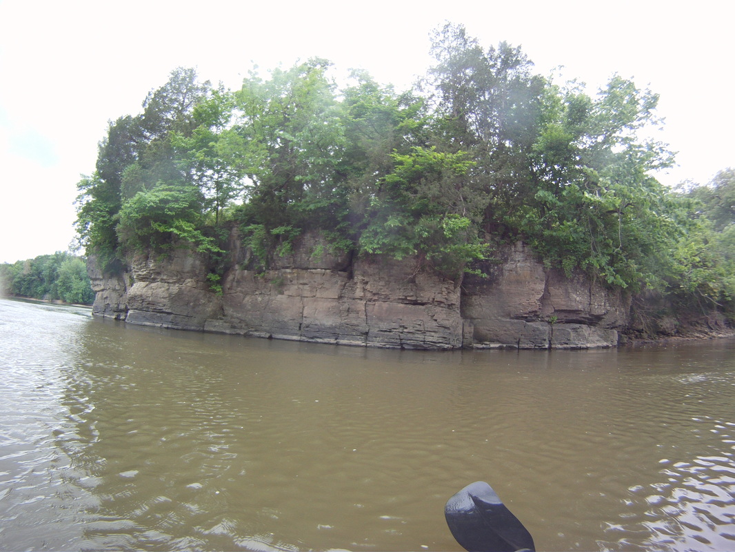
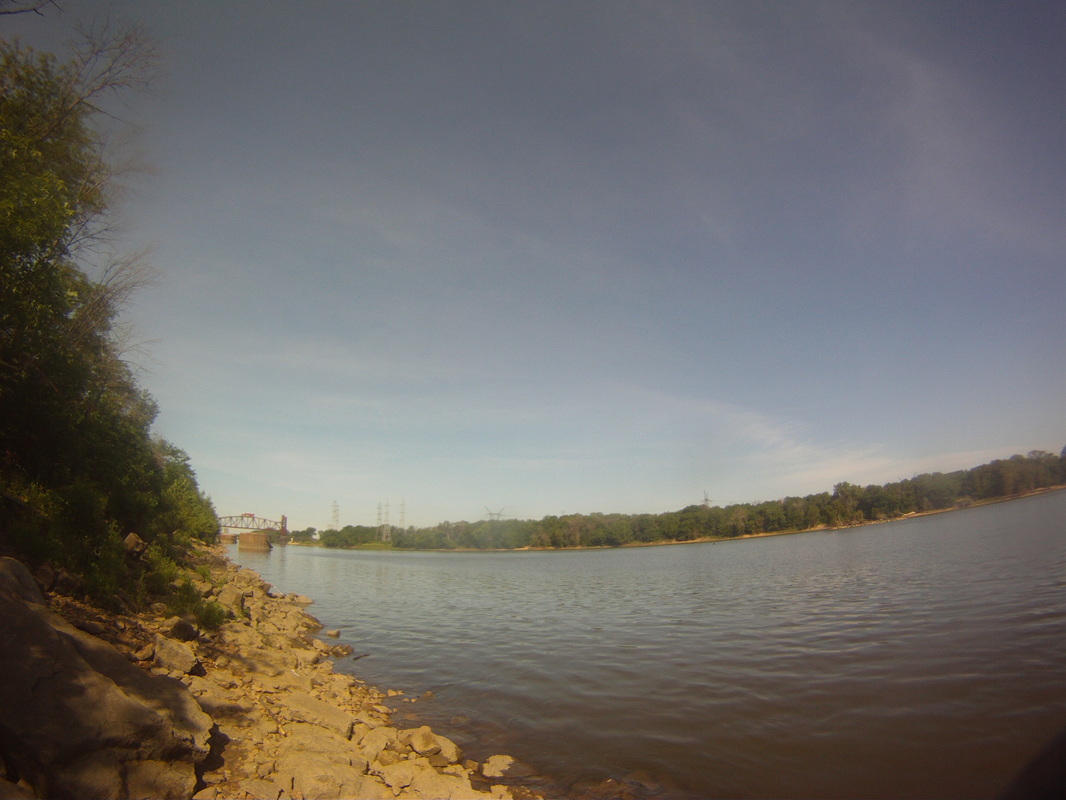
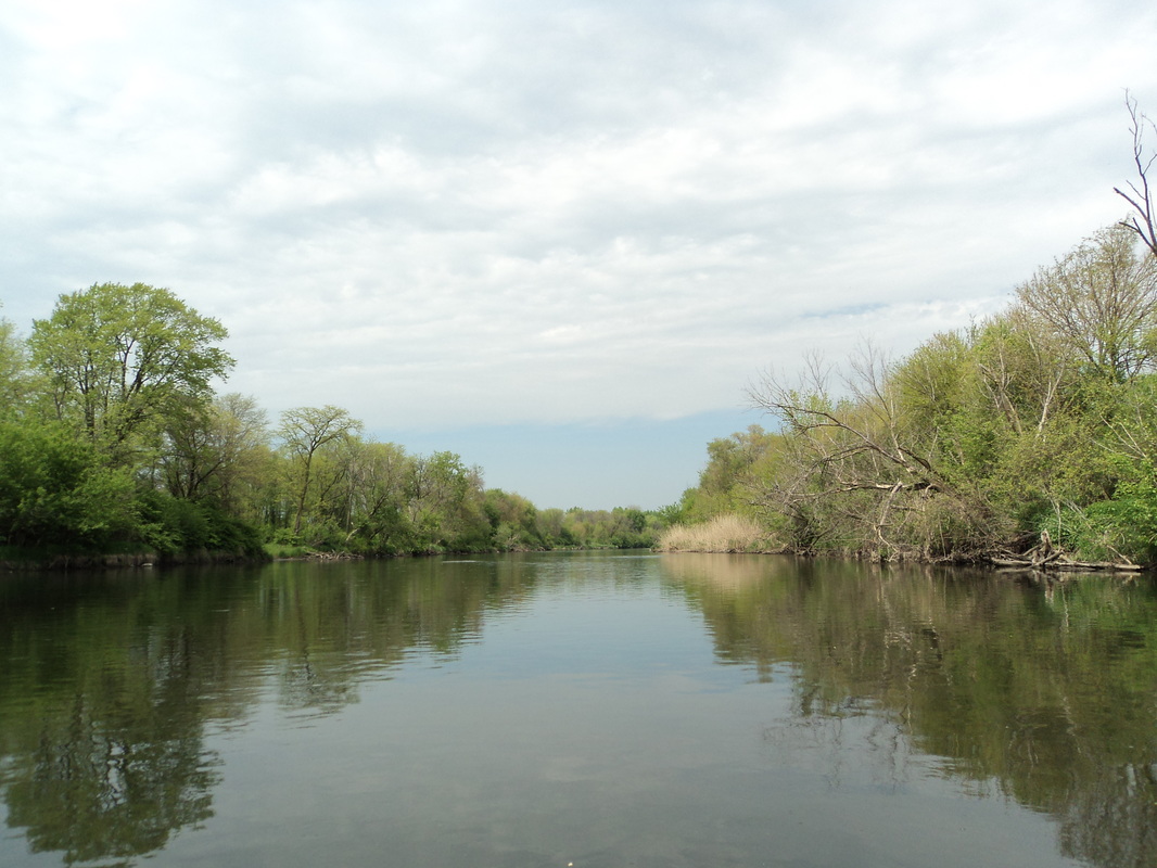
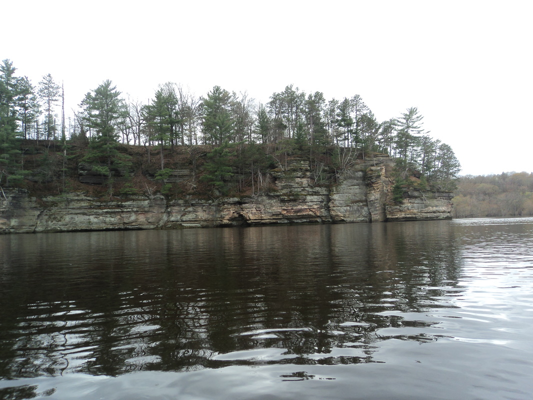
Day 1 consisted of 17 miles, as we moved from Kankakee to Lakewood Shores. The current was very strong for portions of the trip. This was also the most scenic portion of the trip. We made such good time, we overshot a couple of our scouted campsites. The rock formations were beautiful, but not as large as what you'd see on the Fox River.
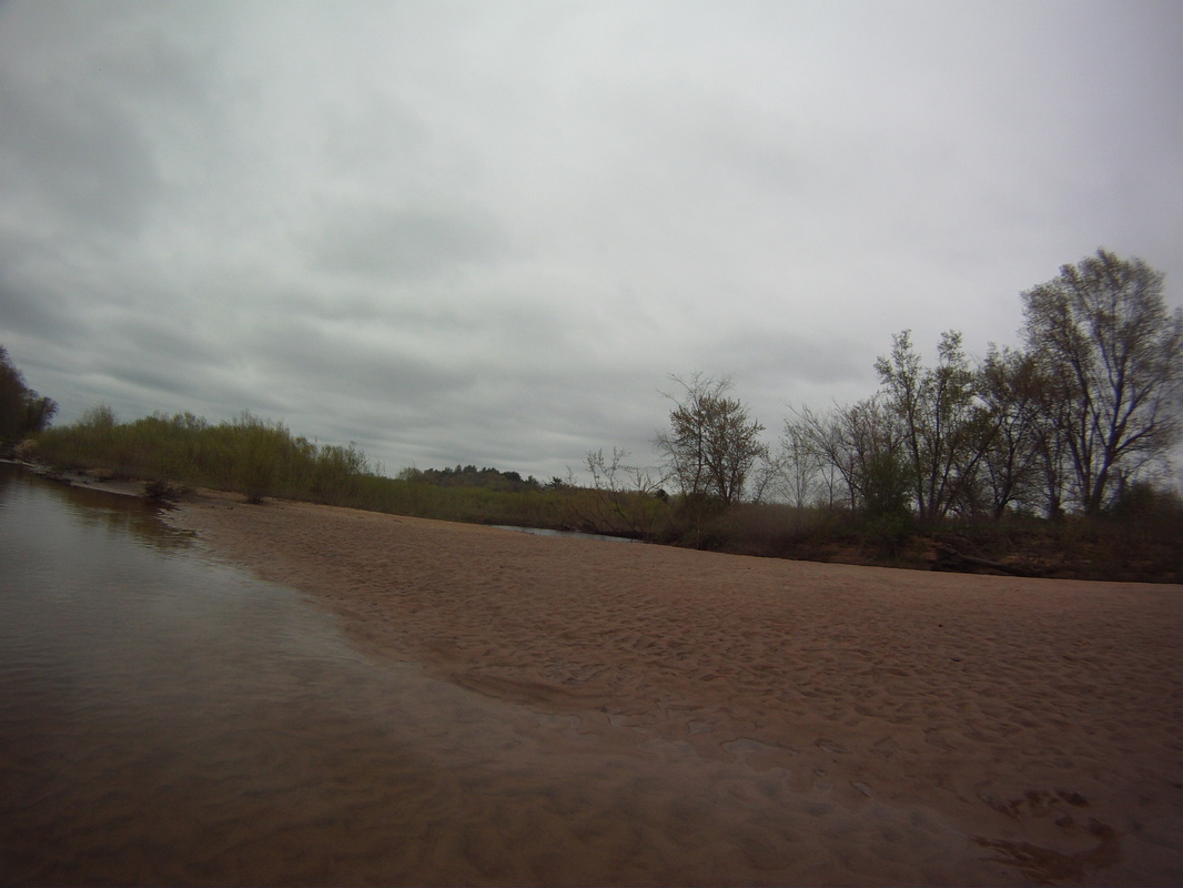
For the night, we settled on an island/peninsula on lakewood shores. We had a couple of swans keep us company. While storms did hit northern IL that night, we got lucky, as the line broke in half, giving us severe weather north and south of us, but we only had an hours worth of steady rain. We camped on a beach, and had a fine night.
For the night, we settled on an island/peninsula on lakewood shores. We had a couple of swans keep us company. While storms did hit northern IL that night, we got lucky, as the line broke in half, giving us severe weather north and south of us, but we only had an hours worth of steady rain. We camped on a beach, and had a fine night.
Day two was two polar opposites. As we got away from Wilmington, the current slowed. Once you get past I-55, the current basically stops, and the river widens.
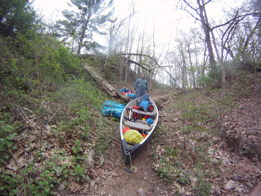
The first half of the day was great. We shot into Wilmington on the current. The portage there isn't great, but a friendly local wit a truck saw us and helped us. Essentially there is a large dam to the river's left that is impassable. If you go right, there is a channel that leads to a second dam. Before you hit dam #2, you get out, move everything across a parking lot, and then drop right back in. The lot is paved, making things a bit easier.
Once you get past the dam, the current starts to slow, going from a riffly 4 to 2 mph. There are sections where it picks back up. After Rt.55, the river widens, even wider than the Illinois. There are houses lining the riverfront with boat docks, which means... POWER BOATS.
Now, I understand we went over a holiday weekend, and so I'm not going to rant and rave at the stupidity of drunk boat owners. But as we rounded that bend, there were 20+ speedboats and jetskis waiting for us. It was complete chaos for the next 4 miles, as we clung to shore, taking wake from every which direction. I wish I had gotten photos or videos, but it was too crazy to focus on anything besides staying afloat. Over the course of those few hours, we saw at least 80 + powered boats and skis, all going whichever direction they wanted. Not fun.
Eventually, we entered into the Illinois river, and the boats became less frequent. We found a decent smaller campsite nearby the Dresden Dam, on the south side of the river. We held up for the night just fine, passing out early after an exhausting day. After a 15 mile day, we just had about 8 miles and a portage to go.
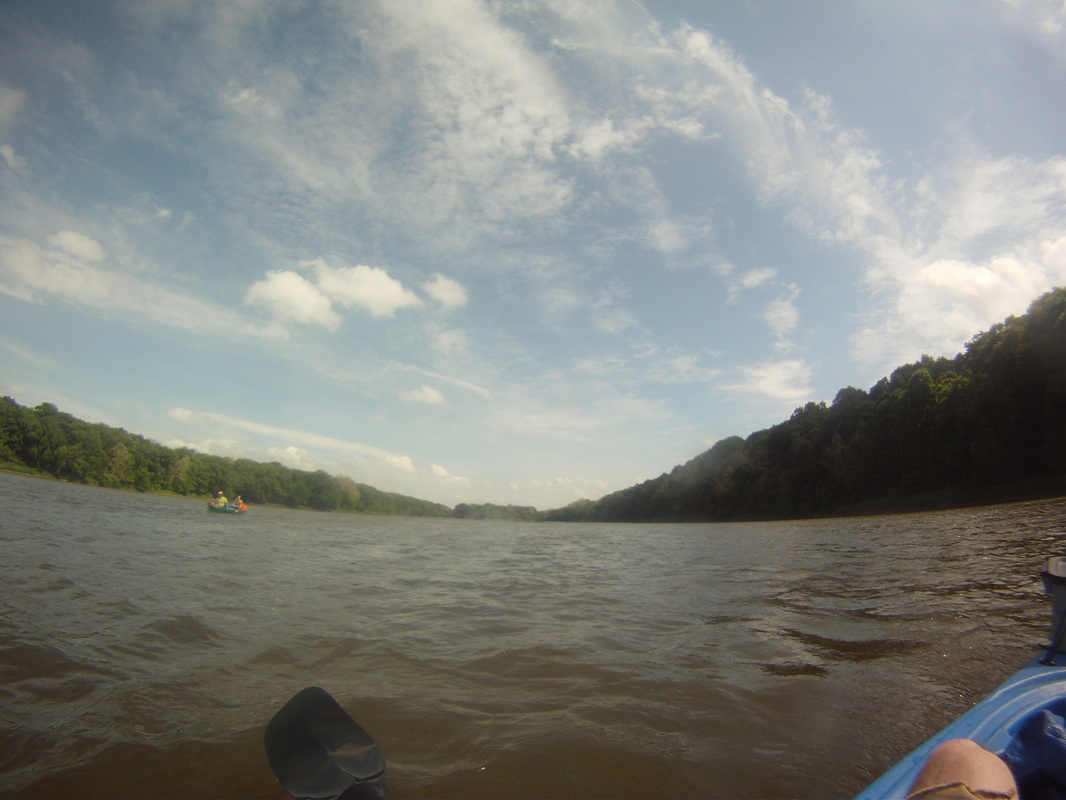
Day 3 was pretty simple. We portaged right away, then continued on the illinois for 8ish miles. The portage was around the dresden lock. We saw that it was taking tugboats 2+ hours to get through, so we decided to just make the half mile trek around. It wasn't awful, just fairly long. You go around their fenced in area, down a road, and then down a wooded path on the right. Over a few rocks, and you are back in the river.
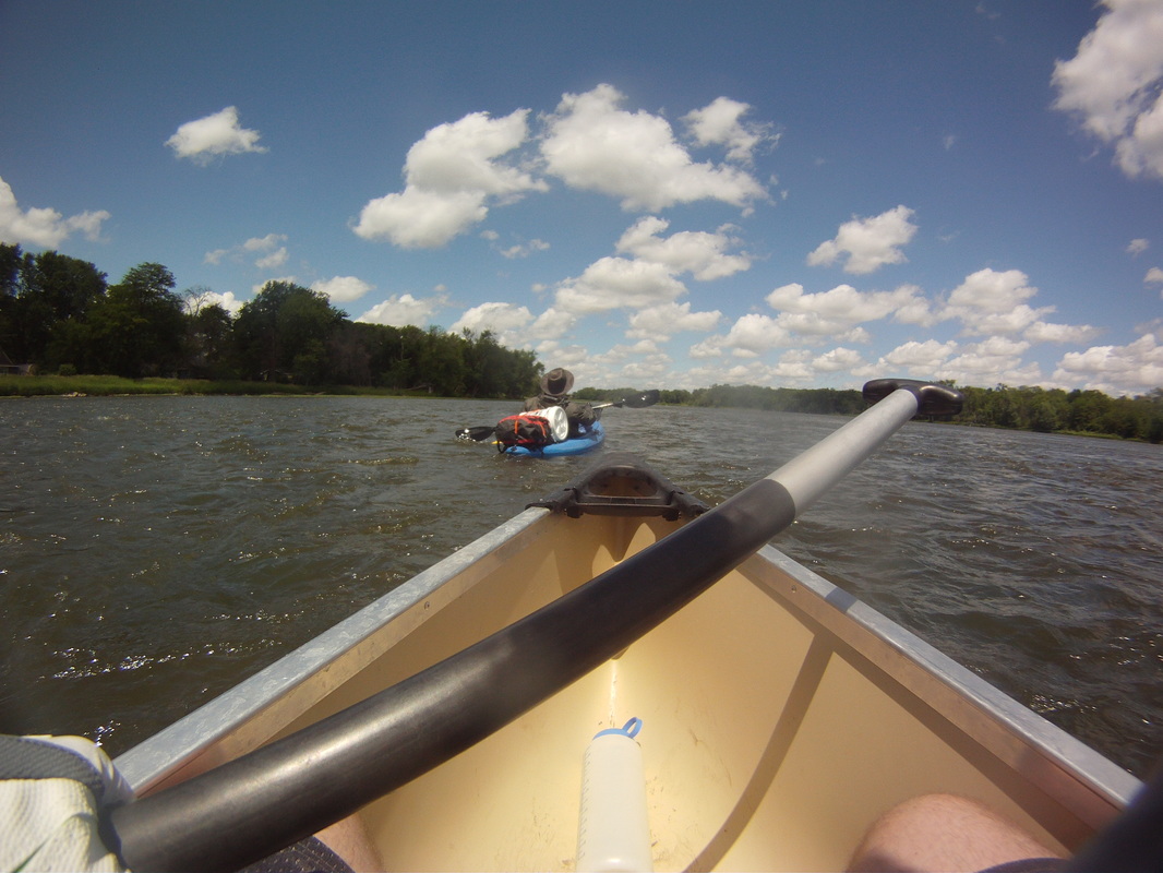
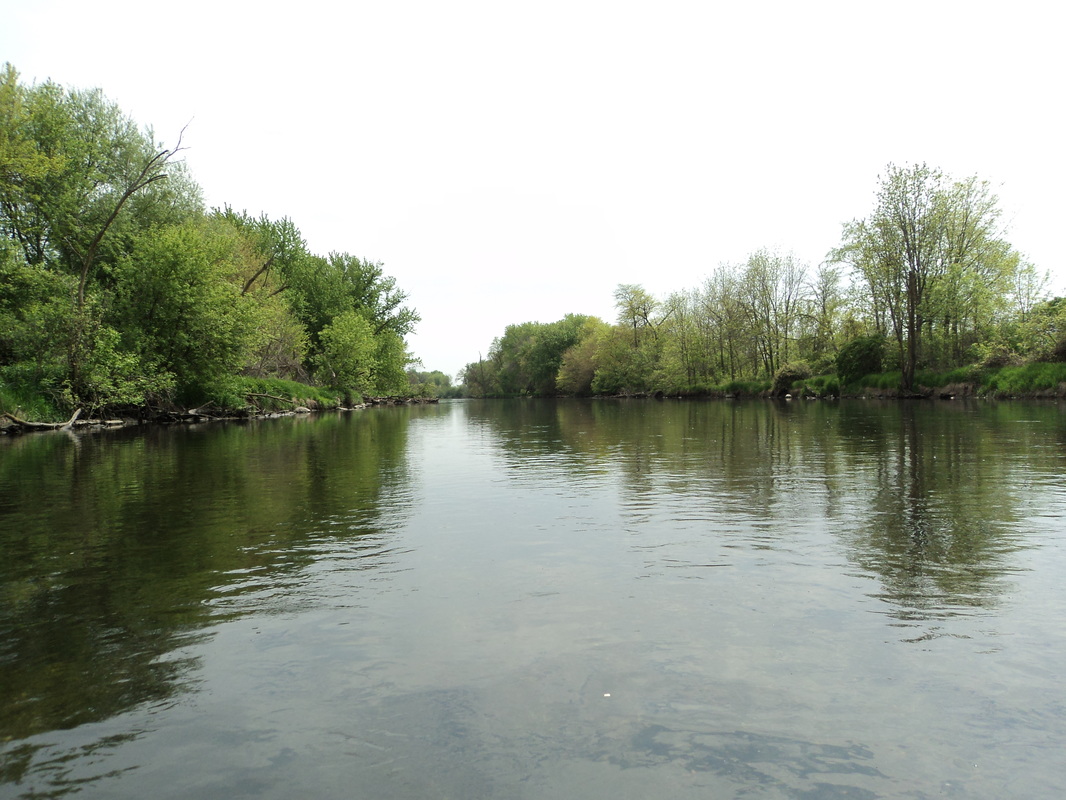
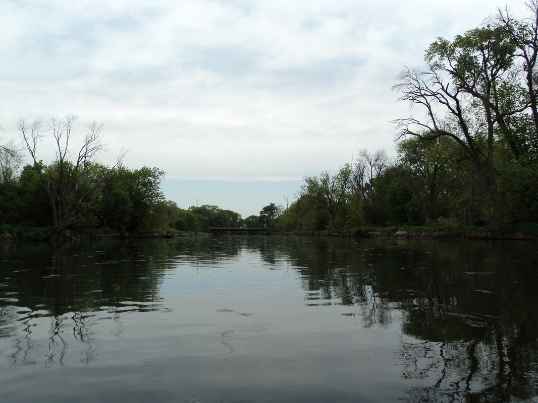
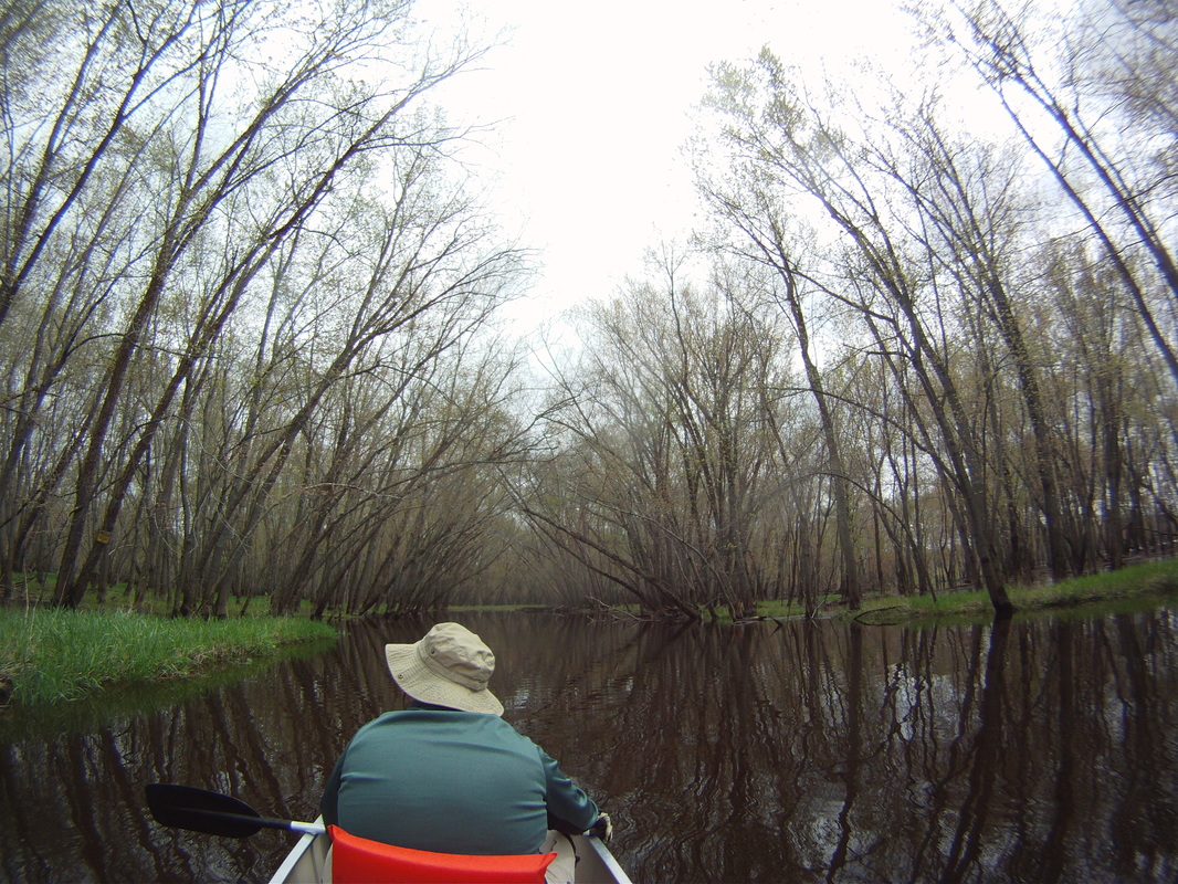
From there, we battled a few speedboats as we moved back into Morris. No current on the Illinois, but with paddling at a decent clip, we got it done in under 4 hours. The stretch from Dresden to Morris is full of trees and campable beaches. Nothing too scenic, but lots of calm water.
From there, we battled a few speedboats as we moved back into Morris. No current on the Illinois, but with paddling at a decent clip, we got it done in under 4 hours. The stretch from Dresden to Morris is full of trees and campable beaches. Nothing too scenic, but lots of calm water.
Overall, it was a good trip. The first part of the Kankakee river was the most spectacular, and next time, I'd rather start further up the river and end in Wilmington. I wish I saw more cool stuff along the Kankakee, but there really isn't much towards that river's end. The boat battles on day two were exhaustive, but we made it. Like any trip, there were challenges, but good attitudes from my trip mates were the difference makers here.


 RSS Feed