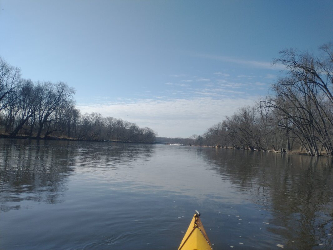
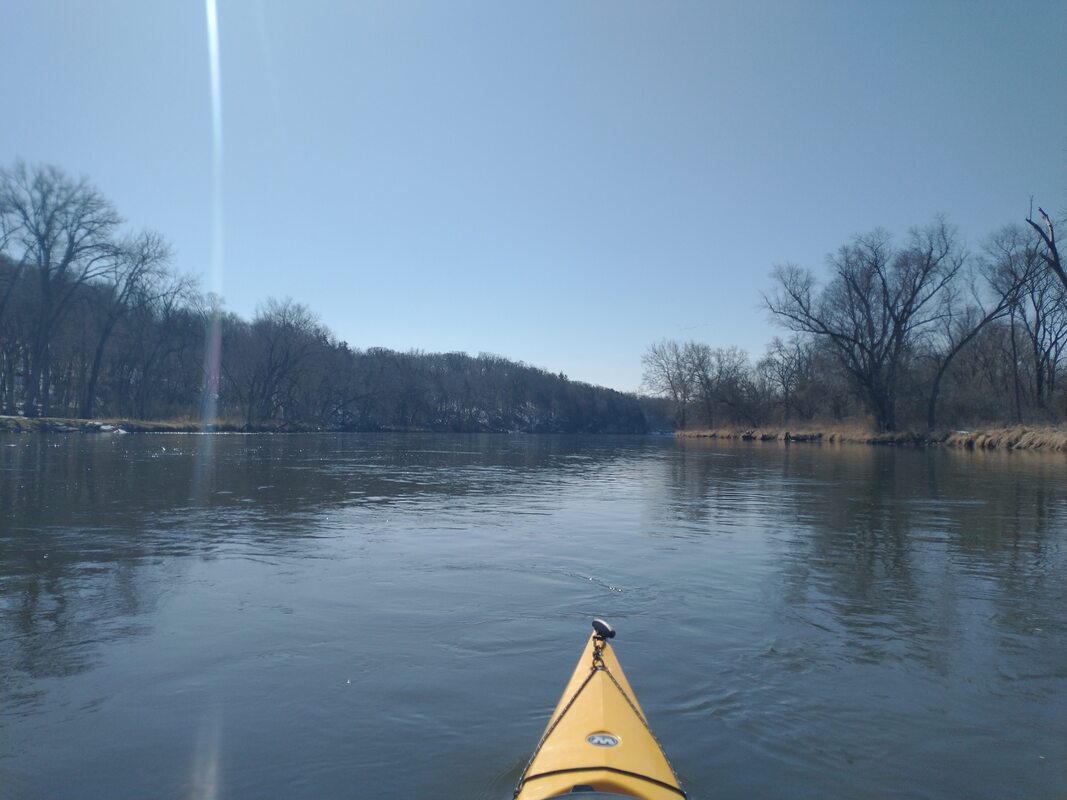
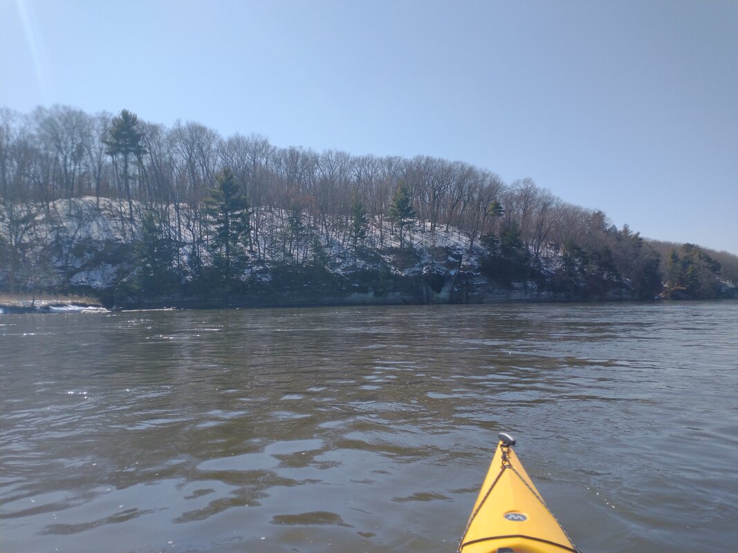
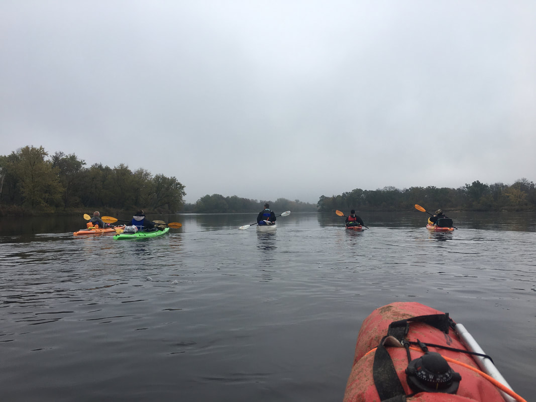
On this day, I shot big. For charity, I attempted to paddle as many Fox River miles as I could in one day. Starting in Algonquin, I was going to hit many dams. My goal was 35 miles, but somehow I pulled off 51. I hit the water at 6am, and ran the river until around 8:30pm.
Portaging:
Typically it was a nice break to get out and stretch. The 3 exceptions being Elgin, St. Charles and Aurora. Elgin is annoying to have to wheel out past the library and main street through traffic, but that's quick. St. Charles took about 45 minutes, getting out on river right and crossing several roads, before putting back in over rocks. Aurora's take out was gone, so I had to scramble it up rocks, but then the put in was easy.
Sights:
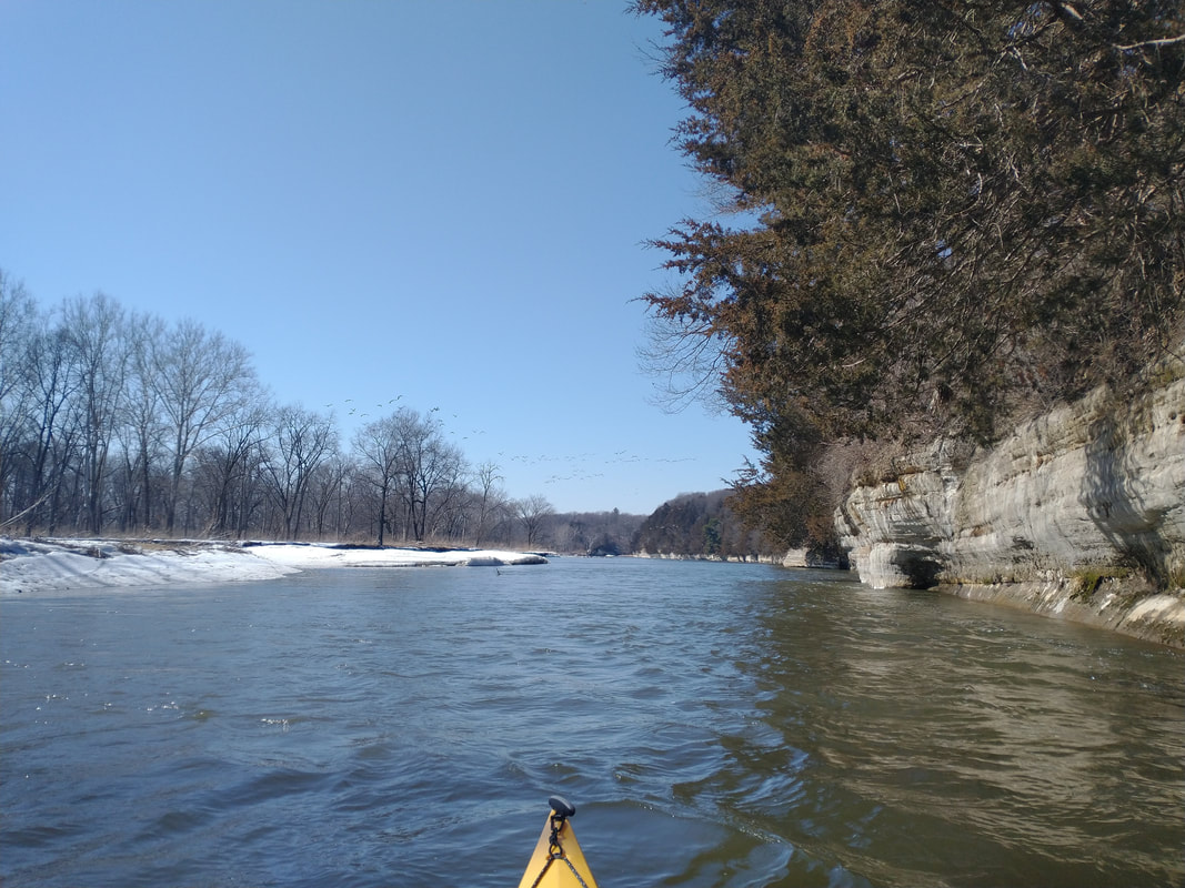
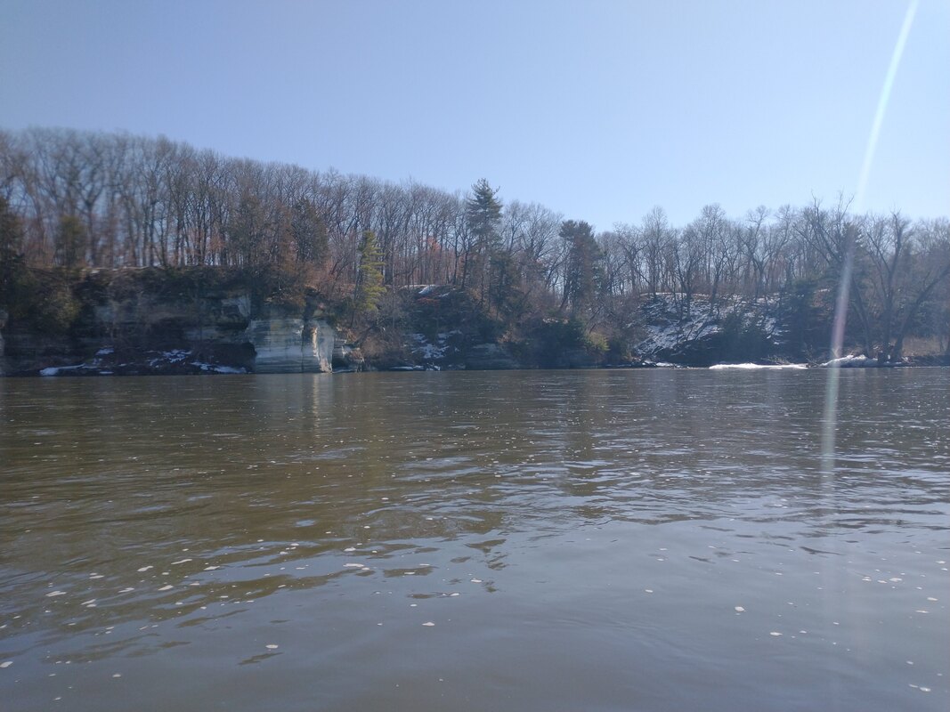
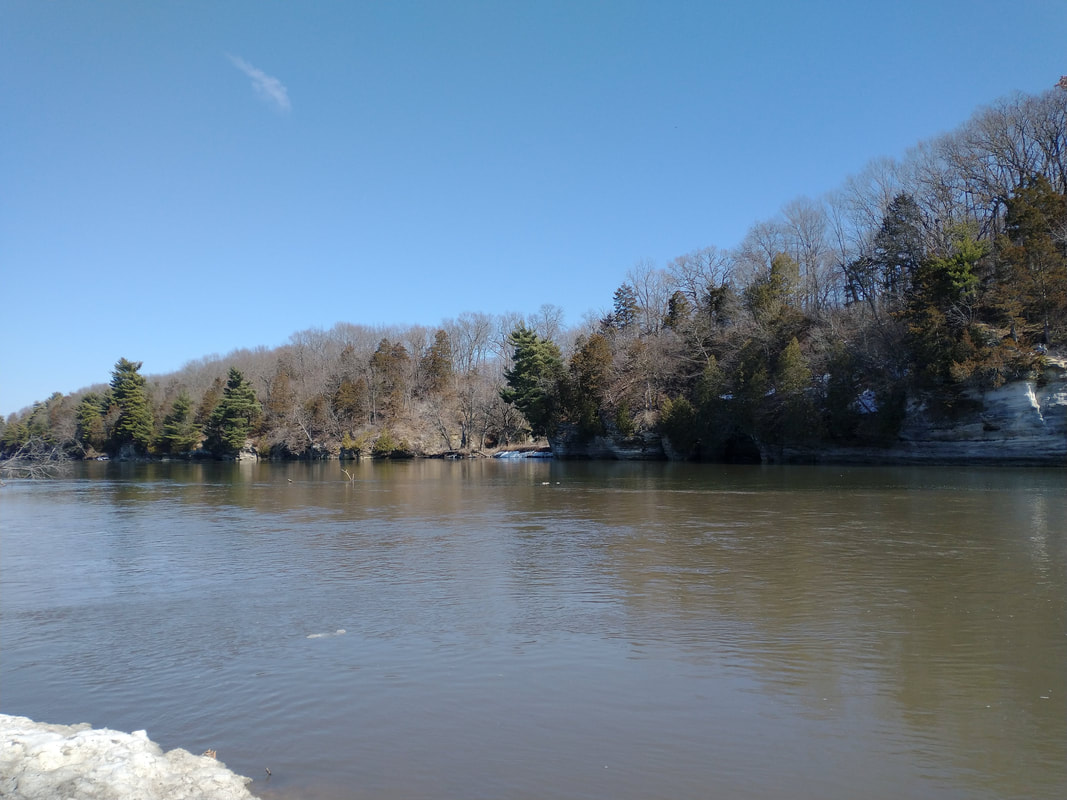
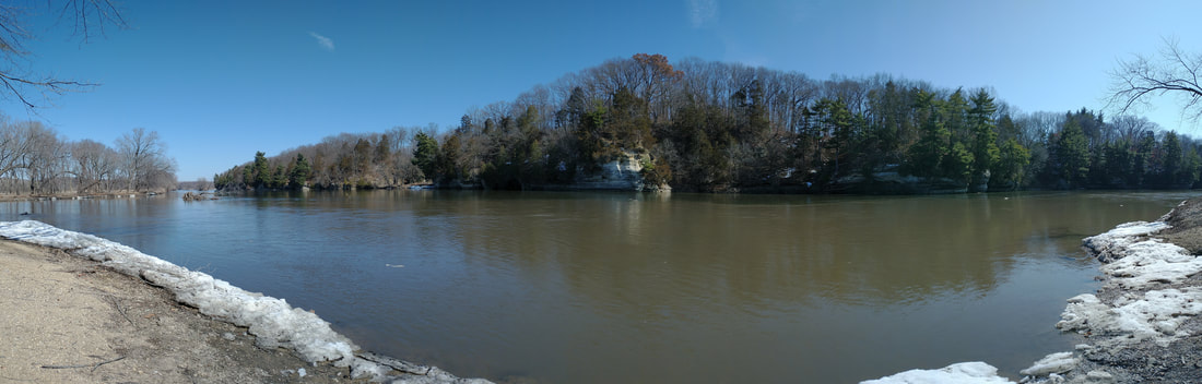
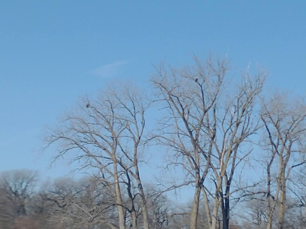
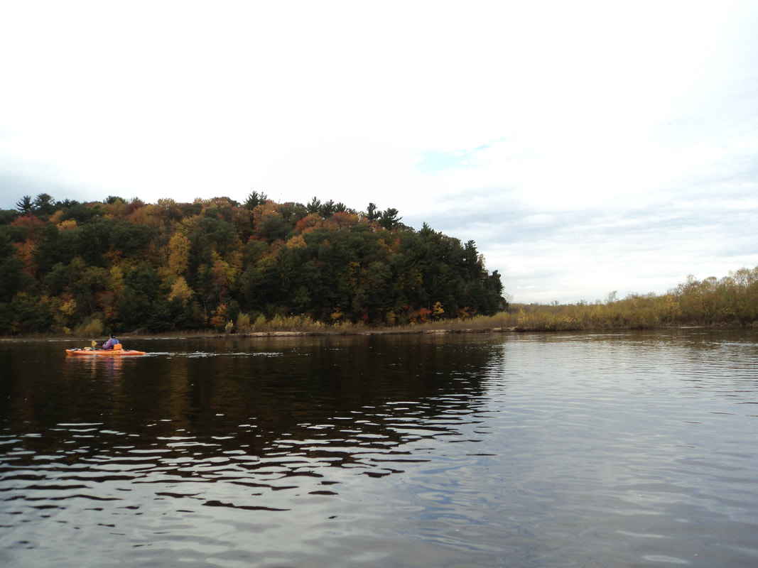
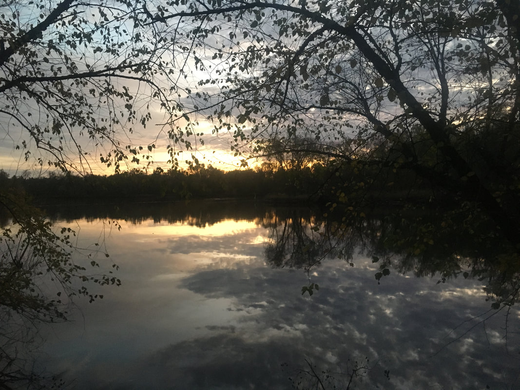
So many of them! It was really cool to see all the individual towns along the riverfront.
Flow:
Water level was low, but not atrocious. I maybe had a 1mph current on average. A few scrapes here and there, but nothing awful.
Typically it was a nice break to get out and stretch. The 3 exceptions being Elgin, St. Charles and Aurora. Elgin is annoying to have to wheel out past the library and main street through traffic, but that's quick. St. Charles took about 45 minutes, getting out on river right and crossing several roads, before putting back in over rocks. Aurora's take out was gone, so I had to scramble it up rocks, but then the put in was easy.
Sights:
So many of them! It was really cool to see all the individual towns along the riverfront.
Flow:
Water level was low, but not atrocious. I maybe had a 1mph current on average. A few scrapes here and there, but nothing awful.


 RSS Feed
