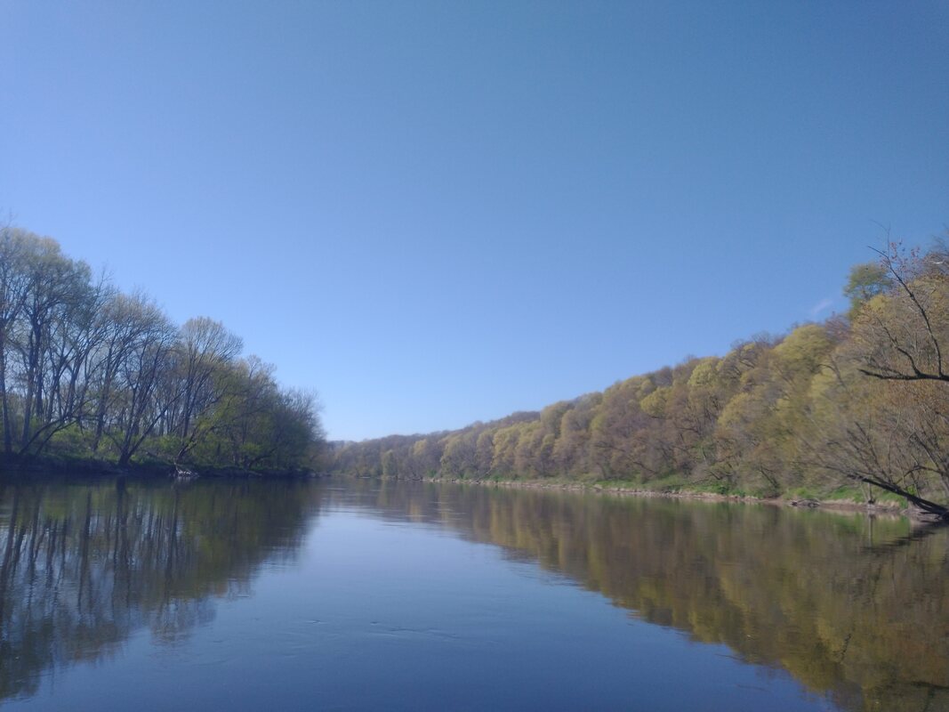
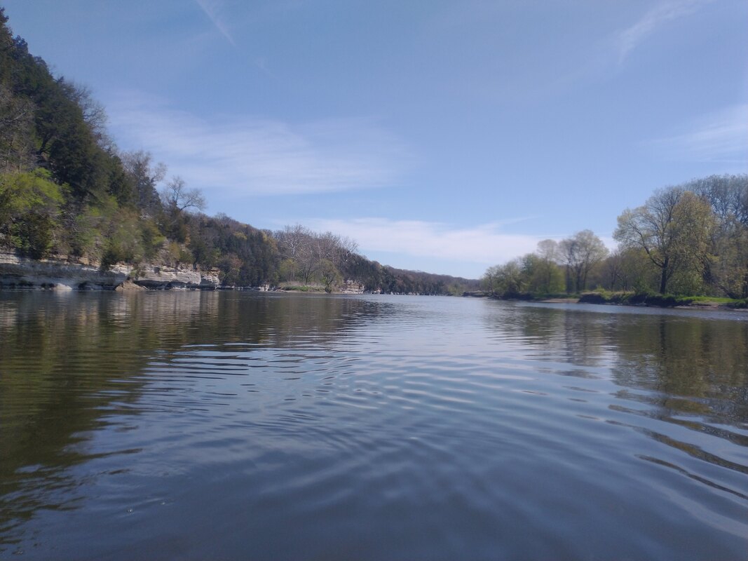
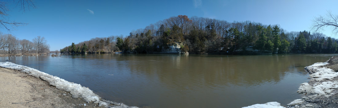
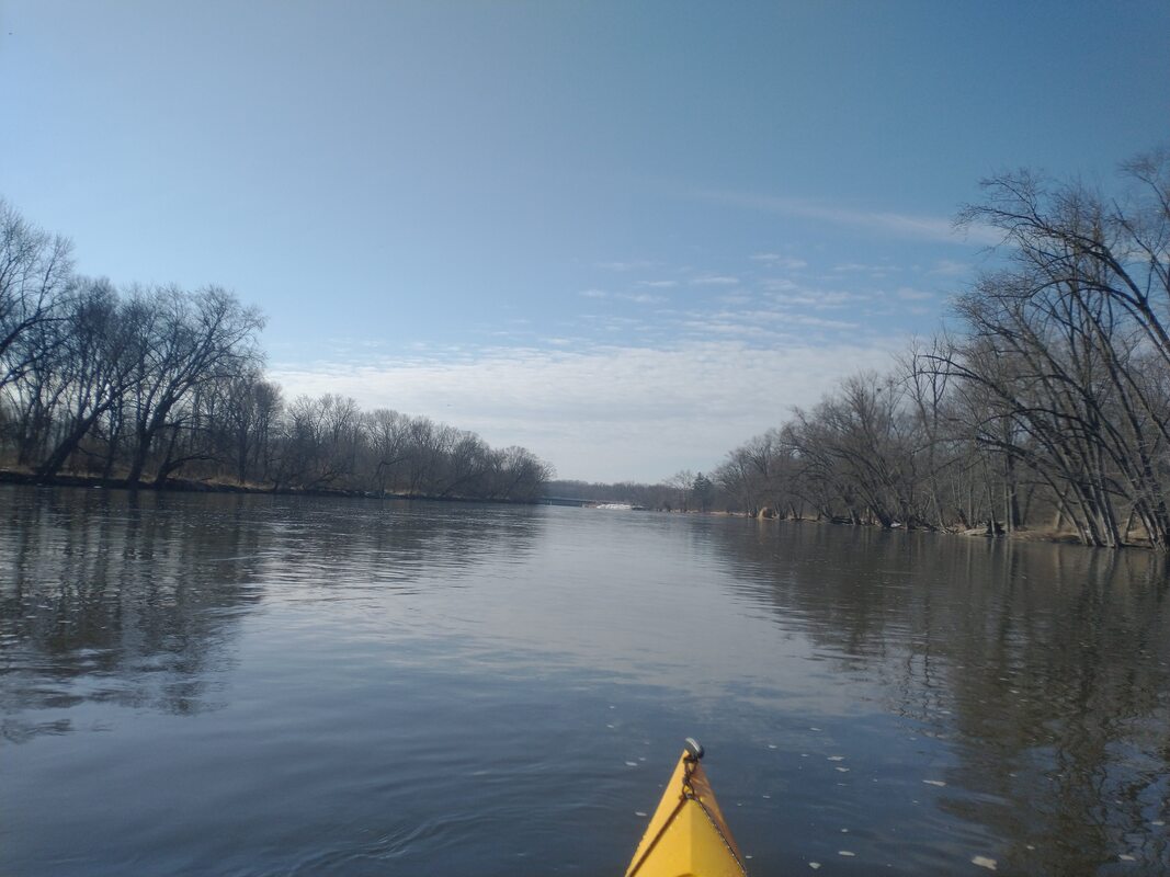
This past long weekend was 4 days and 402 river miles of the Wisconsin river. With a group of 4, we went from Castle Rock to Portage, WI. This featured the Wisconsin Dells, the most scenic river spot within 3 hours of Chicago. We went at a slower pace, to allow extra time for exploring and relaxing. The river was also very low, so we didn't have much help going downstream.
For transportation, we dropped our boats and gear at the start and left a person. We then drove to Portage (about a 45 minute 1 way trip) and parked in the public lot. We then hired a taxi that took 3 paddlers back to the start. That way, we could paddle downriver and have our cars waiting for us at the end.
For transportation, we dropped our boats and gear at the start and left a person. We then drove to Portage (about a 45 minute 1 way trip) and parked in the public lot. We then hired a taxi that took 3 paddlers back to the start. That way, we could paddle downriver and have our cars waiting for us at the end.
Day 1:
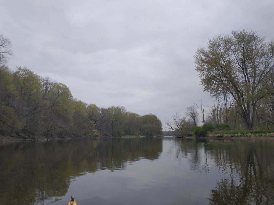
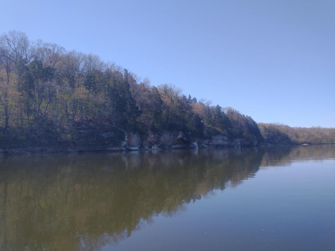
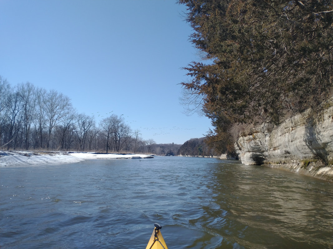
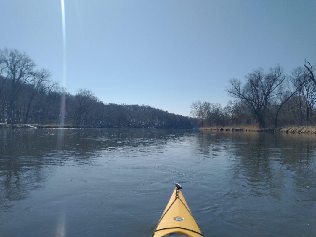
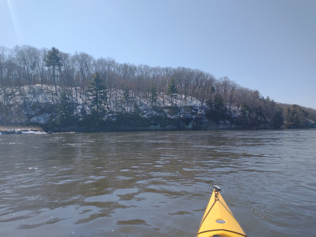
Great weather and some solid scenery. We passed through a few canyons, and got out for an impromptu hike. We found cam on one of the many islands before the river opens up into a bit of lake, just before Witches Gulch. This is important, because there is no spots for camping once you pass this area.
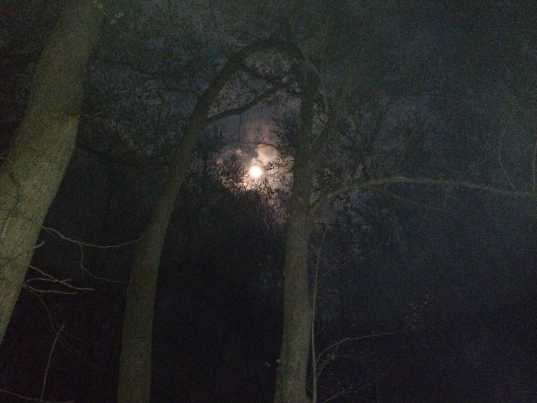
So nonetheless, we found a good island campsite and called it a night.
Great weather and some solid scenery. We passed through a few canyons, and got out for an impromptu hike. We found cam on one of the many islands before the river opens up into a bit of lake, just before Witches Gulch. This is important, because there is no spots for camping once you pass this area.
So nonetheless, we found a good island campsite and called it a night.
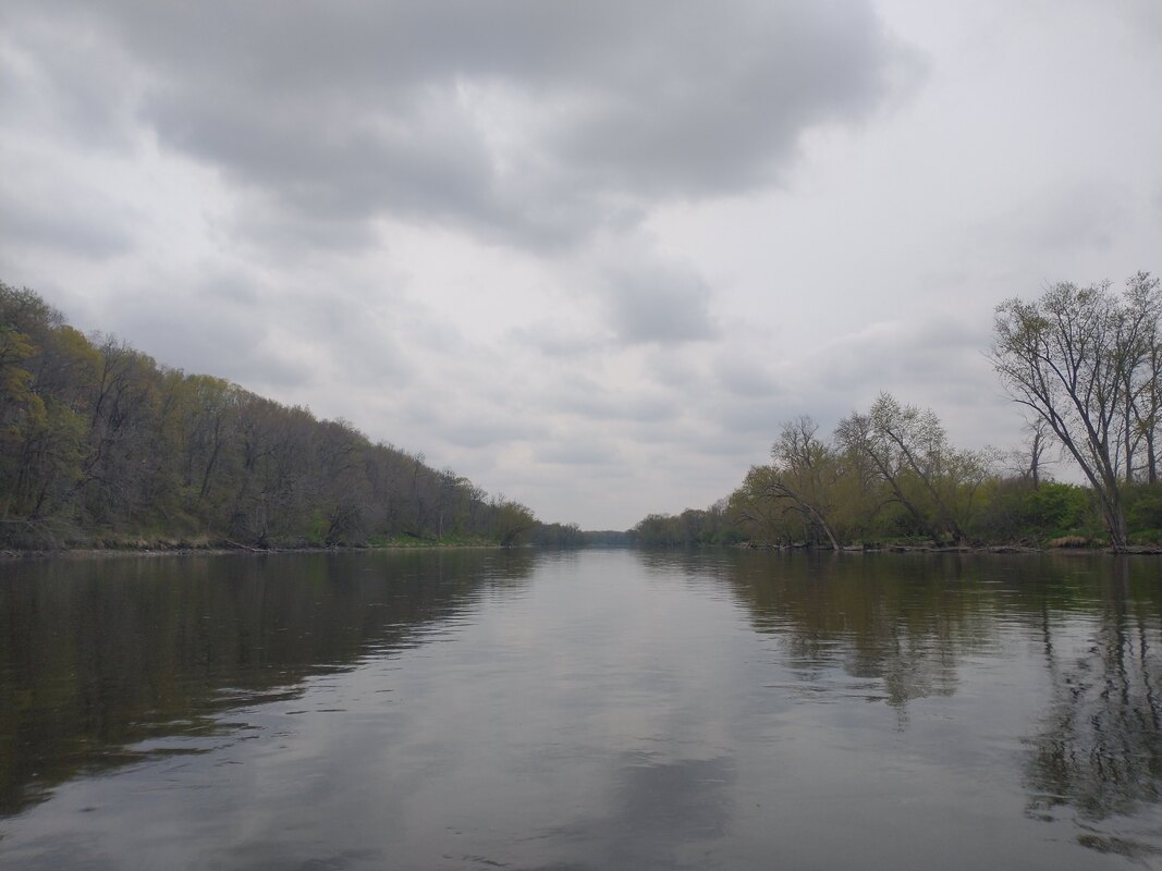
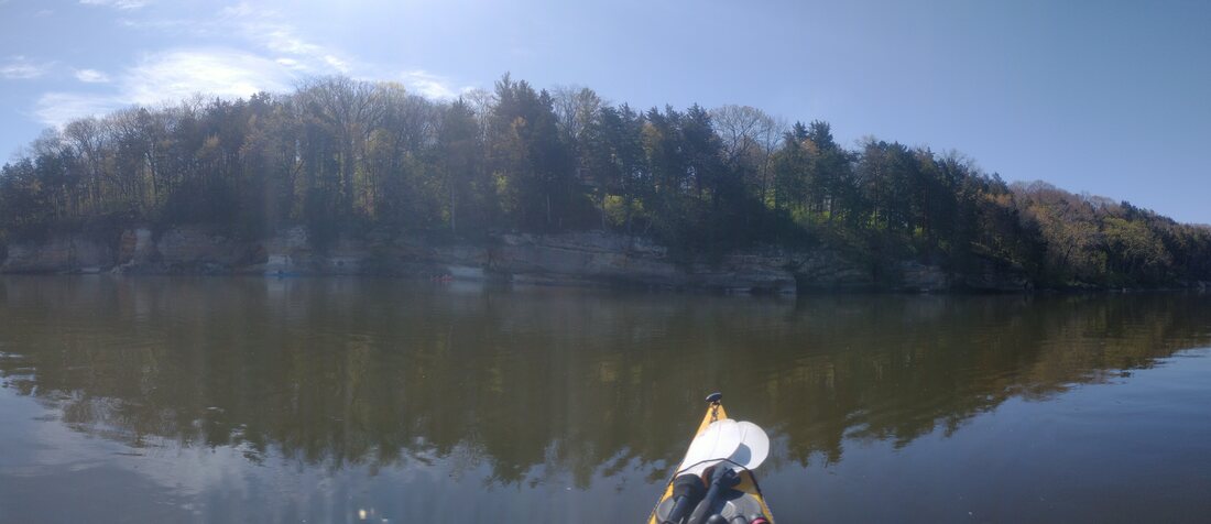
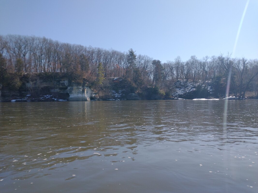
Day 2: Was comprised of 3 segments. We went very slow and explored the dells in the morning. Then we had a nasty portage around lunchtime. We then floated about 4.5 miles to a woodsy beach for camp on day 2. We covered just 12 river miles, but it wound up being a long day.
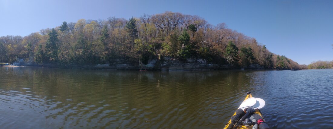
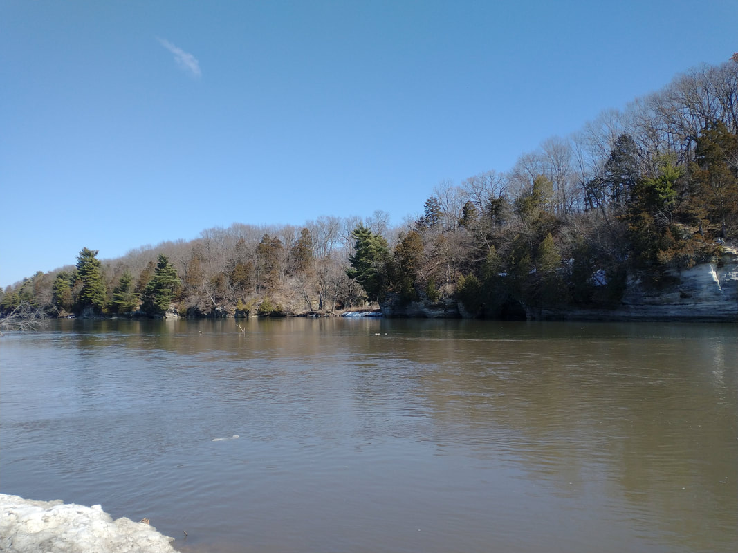
Day 3: we just took our time exiting the dells and enjoying the sand. We took a few breaks and eventually found camp on a great sandbar.
Day 4: originally we planned to go further, but then realized the water was so low it would be hard to make it before bad weather hit. We had an unexpected portage at the end, as much of the river was so low that sandbars prevented us from taking out at the actual take out. It wound up being short, but we beat the bad weather and had a nice pizza at the end.


 RSS Feed
