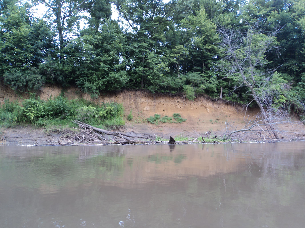
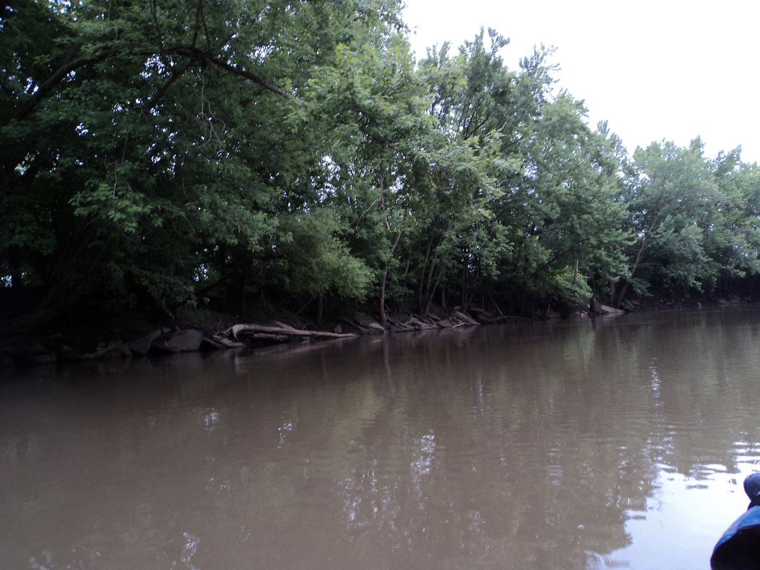
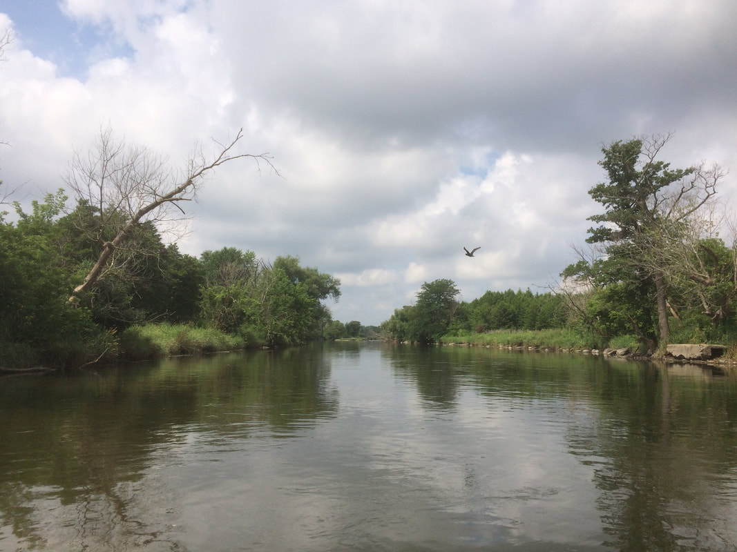
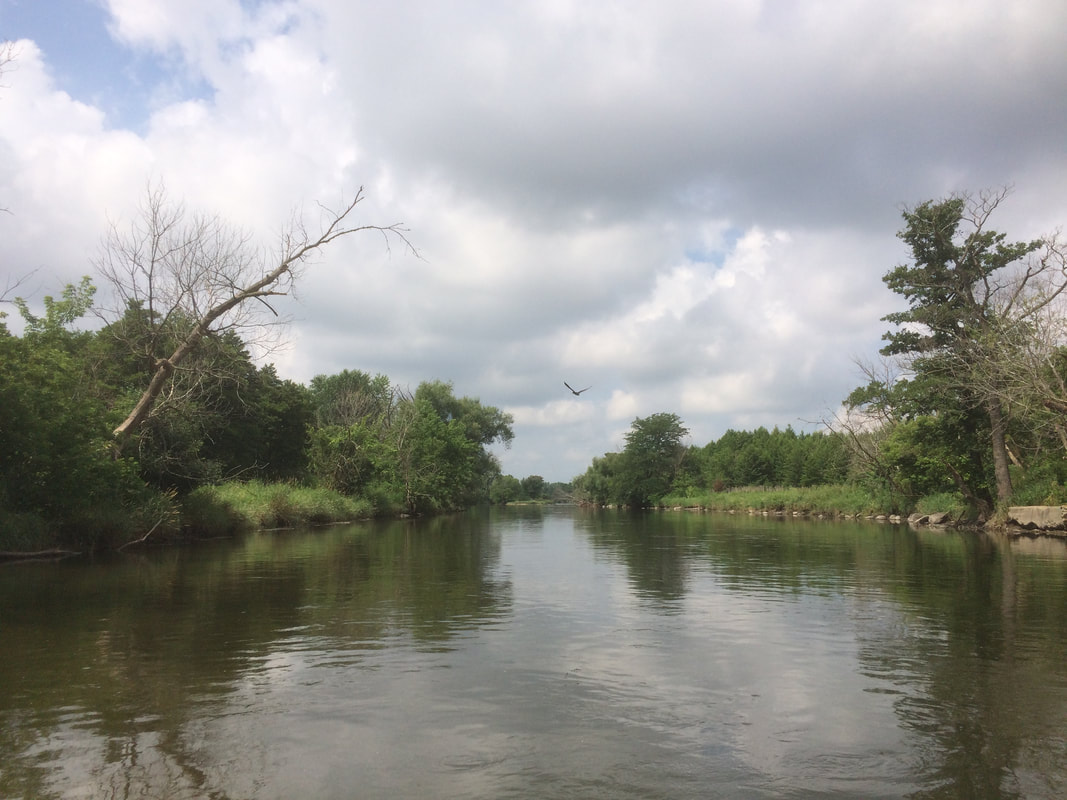
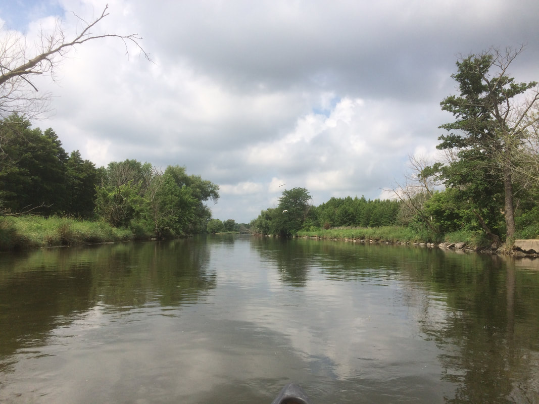
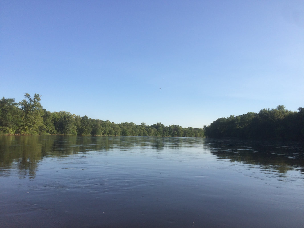
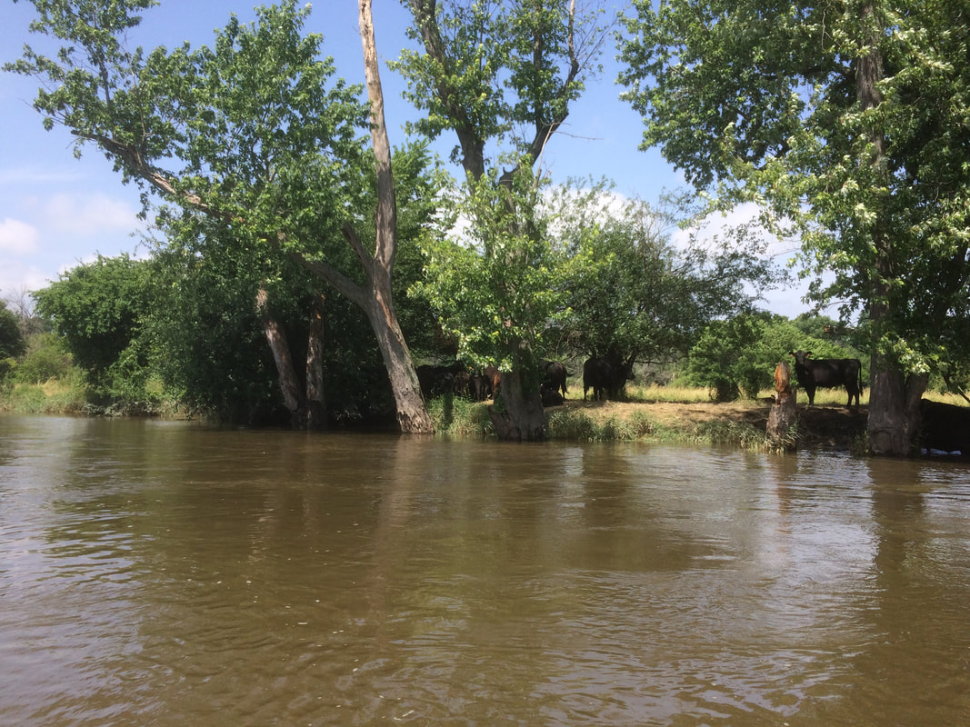
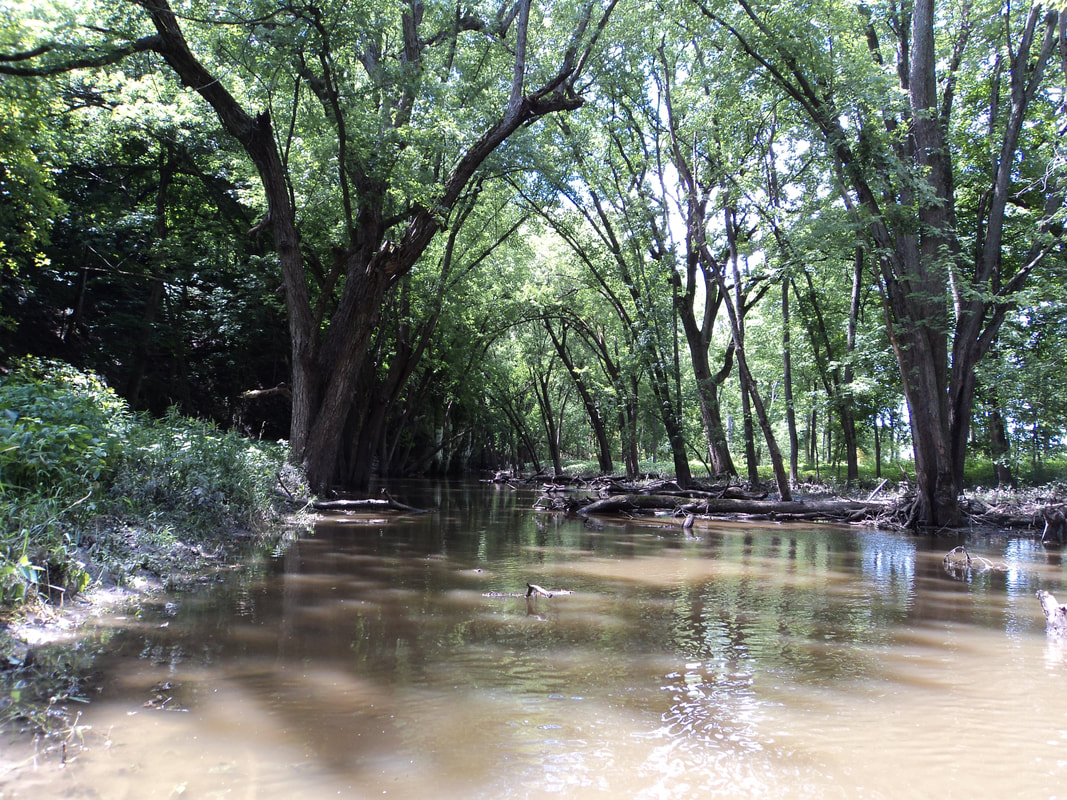
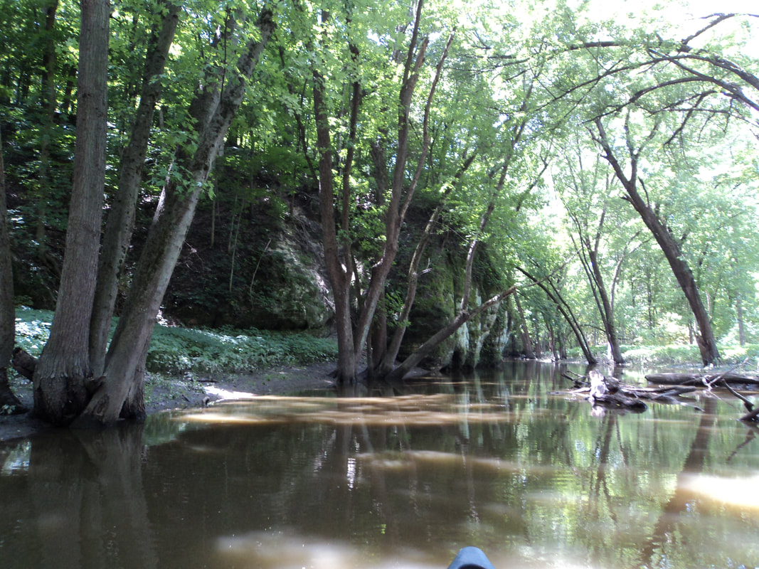
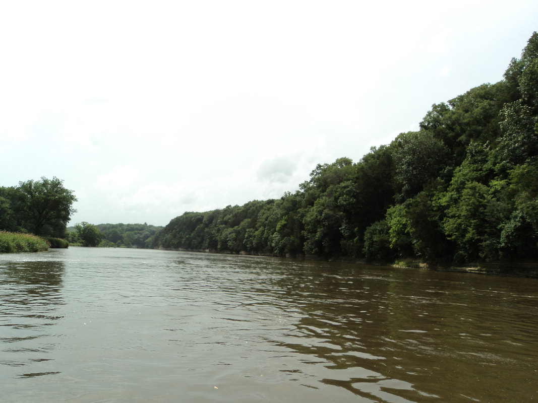
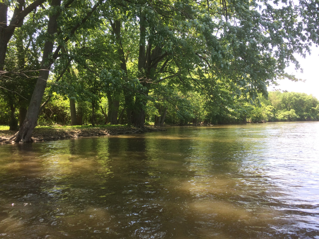
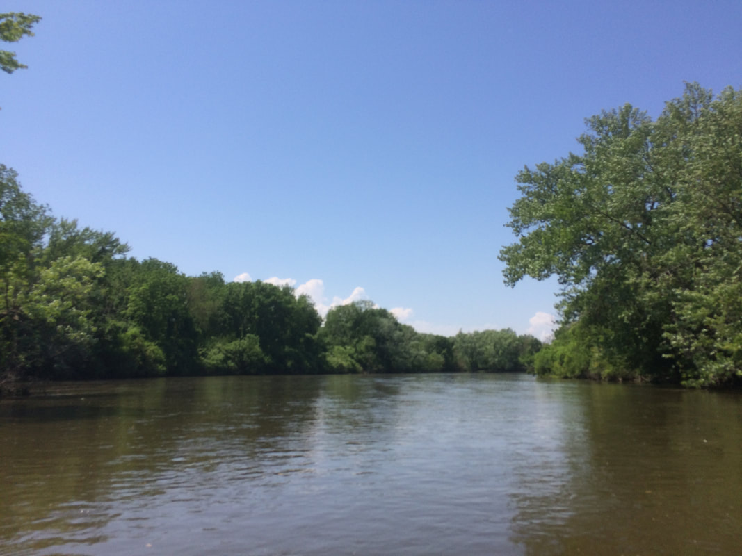
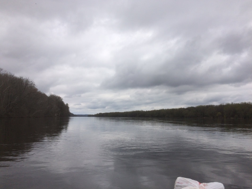
Montgomery to Yorkville is a great 10 mile paddle on the fox river. You start at the dam at Mongtomery, then take out at the dam in yorkville. It takes you past Oswego, then through a chain of islands. This stretch takes 2-4 hours, depend on current. At my best, I've done it in 2. If it's a casual time, it can take closer to 4.
Comments
I got to check a river off my bucket list: The pecatonica river. I did a 53 mile stretch from downtown freeport to Two River Forest Preserve, which is right before the pec merges with the Sugar River. It was a brutal river to paddle. The pec doesn't really have much portaging, but there is no current on it, and it's extremely muddy. Tons of mosquitoes this time of year too. Plenty of trees means ample shade, but the majority of the shore is overgrown. 18 miles on day 1 took us from freeport to 10 miles outside of the town of Pecatonica. We would find a rough campsite around the 18 mile marker up a mud hill. There was plenty of camping before mile marker 14, but from 15-20, not much of anything. We made it work though. The problem was around mile marker 21, there is a tight curve with a logjam that forced us to portage through a farmers field on river right. There's a mud pile to get through of knee deep slop, then you go through a field, then slide down a ramp back into the river. A swarm of mosquitoes ate us while we portaged. We continued on through downtown pecatonica. There's a sudo dam there, but if you stick to river right there's an easy channel to pass through so you don't have to portage. We'd continue on to the Pecatonica river forest preserve area where we found a shoreline to camp on. The first half of the trip was riddle with mud, heat and bugs. The second half was much better. There were more shorelines for camping. The current never quite picked up, but there were less obstacles to maneuver around.
53 miles took us 3 longer days of 6-8 hours of hard paddling per day. We slacked off a little, but they were longer days. The heat bugs and mud made this a tough river. Tough to paddle, tough to camp on. Maybe it's different in fall/spring, but I do not advise doing it in the summer. Canoe down the DuPage river: Naperville to Plainfield. We put in at Weigand Park, took out at electric Park. This takes 12 miles down the western then post merge Dupage river. Current and flow were average, and it took about 4 hours.
We'd scrape up a little bit in the beginning, but the river really gets deeper after the merge. 2-3 MPH flow, depending on the section. Just went for a quick evening trip down the Fox river. I started in Oswego and went to yorkville on kayak, totally up 6 miles. I went in the evening, finishing close to sunset.
It was a decent paddle, average current and flow. It took me about 2.5 hours while paddling lightly. 19 miles on the fox makes for a long day. Today I canoed 19 miles from Millhurst to Wedron. Current was up from recent rains, making for some spilled borders. It took about 5 hours, despite a strong headwind at the end halting progress. This trip takes you through the Dells area, known for it's cliff walls Suh Suh canoe launch is a riverside forest preserve in the millhurst area. Easy parking and boat lunch. Daytime parking is allowed, but no overnight. We took out at ayer's landing, where you can park overnight and personal boat launches are only $5 per boat.
This is the most scene part of the lower fox river. It's a must see if you are in the area. Over memorial day weekend, I did two Identical trips: Montgomery to Yorkville. One on Saturday, one on Monday. There was unseasonably high heat, making it difficult. River flow and current were both up a little bit after heavy spring rains. This trip starts at the Montgomery Dam and runs to the dam in yorkville. It's 10 miles of portage free paddling. You get some scenic islands in Oswego and plenty of trees. It's a fun and easy paddle
I went on a trip from Plainfield to Channahon State Park in a kayak. 19 miles. The current was up after some recent rains, so we flew down river. Except for one part... Just south of Shorewood, there is the rapids section, followed by a lake and 3 channels. We decided to take the left channel, which was partially blocked by a log the last time I went. And then this happened.... Not my best moment. The log forced our boats under the water line, and we were pushed into the river. It was wet and muddy, but fortunately not too deep so we could recover.
Besides that it was a good paddle. Just be warned! Day 4 on the Wisconsin river would take us from Boscobel to Wyalusing. We'd finish off the Wisconsin river, and move into the Mississippi for the last few miles. The current was once again super strong, pulling us downstream fast. The water level was also way high the further we got, as the Mississippi back flows in the WI. We'd go 33.6 miles in a single day. New personal record. We got to lunch, realized we could do it, and paddled hard to the very end. It wasn't as exhausting as it could have been, but I chalk that up to river current help. We'd see a couple of power boats today, but still were the only kayakers. The river would get super wide at the end, as we'd pass some very tall hills. Eventually things really widen out, and you are at the Mississippi. Getting to the Mississippi was a real highlight. The Wisconsin river is wide, but the Mississippi dwarfs it. It's also lined with hills, putting you in a sort of canyon. It was really a spectacular ending to the 92 miles of the lower Wisconsin river. To summarize a bit:
Day 1: 15.5 Day 2: 18.6 Day 3: 24.2 Day 4: 33.6 I wouldn't expect to do that kind of thing again, but the current really pushed us and enabled us to finish a day early. If we didn't have incoming rain, we might've been able to finish in 3 longer days instead of 4. We did have a strong spring current resulting from a major snow melt, which probably would not happen again in the future. I really enjoyed this trip. Tons of nature, not many other people out this early in the season. It was fantastic. Day 3 on the Wisconsin river was 24.2 miles, as we'd make our way to Boscobel. Once the rain cleared out, we made solid time down the river. The sun finally came out this day, and we were able to dry off. We'd pass through Muscoda for lunch, then also see port andrew/blue river. More of the same river wise. The water level was up, mean we could move fast without busting. It wasn't quite at flood stage, but was bordering on action. Lots of landscapes and rocks. This later section would start to follow up with route 60, so the majesty of nature was broken up a little bit. We'd camp just outside of boscobel, on the south shoreline. It was a nice foresty site, not the sandbars we were used to.
The next day would be the big one. Day 2 on the Wisconsin River would consist of 18.6 miles. We flew down the river, getting started around 9 and wrapping up by 2. Mainly because we found a great shoreline campsite, and there was rain incoming. The river was really cruising, but we also paddled hard for a couple stretches. We'd pass under a few big bridges, but that was the only sign of people we'd see all day. The rest of the time it would be trees, landscape, and a few bald eagles. We'd stop for lunch right by the railroad bridge at 34.5, then continue on for an hour after that when we found our great campsite. As there was rain coming in around 5, we'd stop and set up camp. Good thing too, as it would rain off and on all evening, night, and a little into the next morning. This section started up some nice rock formations too. The river really cuts deep into the ground, so you get some tall edges. Basically, the river gets more and more beautiful the farther in you get.
|
James T.The Kayak Maniac Archives
October 2022
Categories |