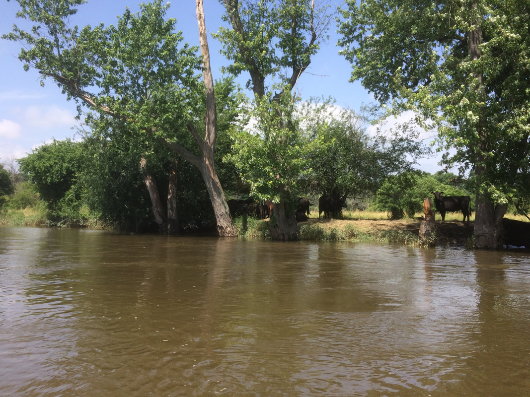
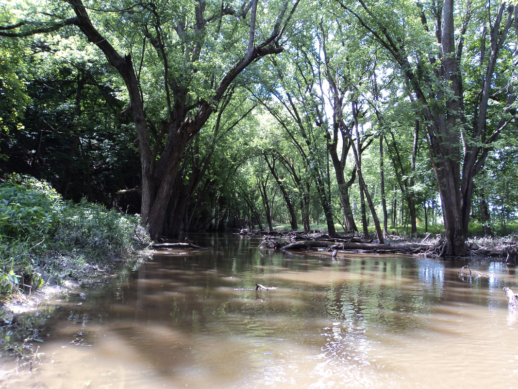
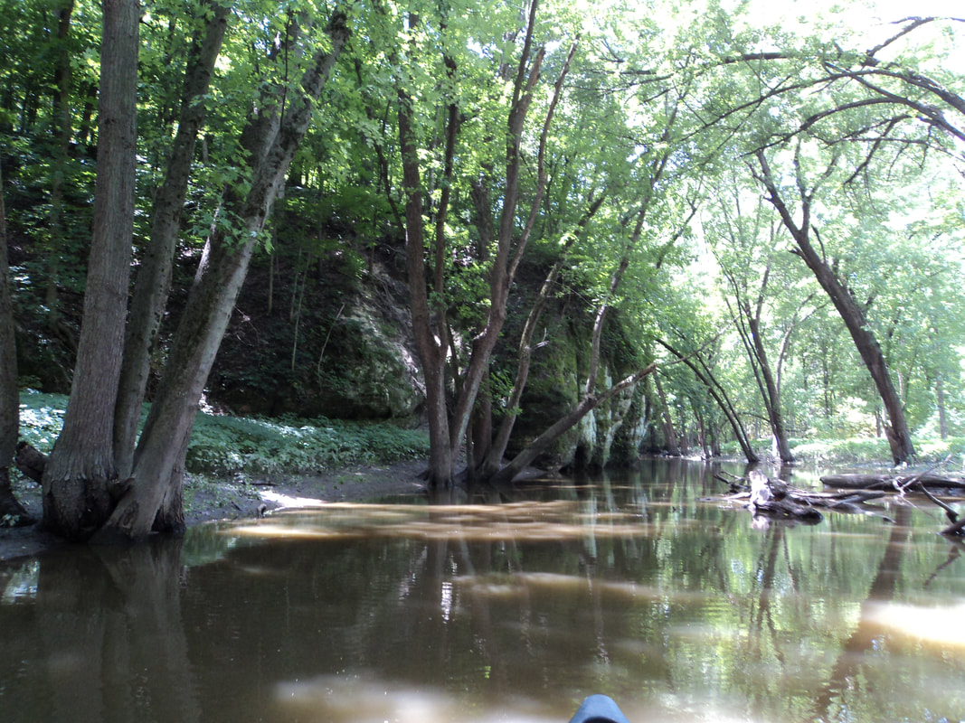
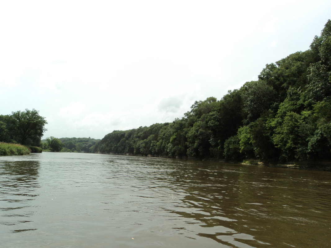
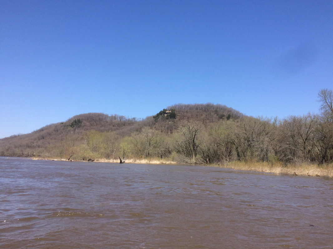
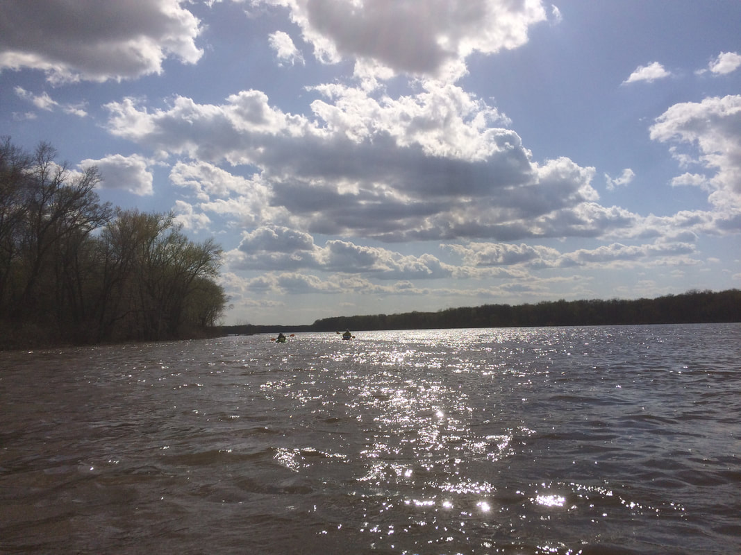
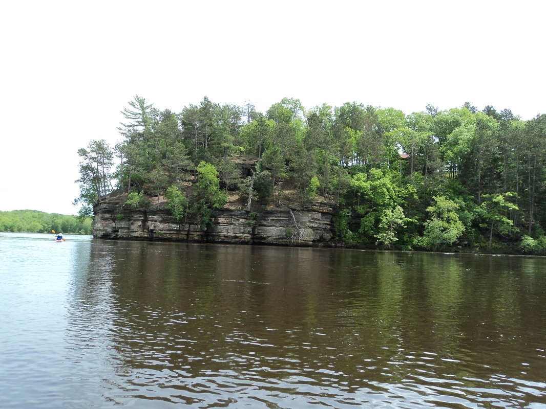
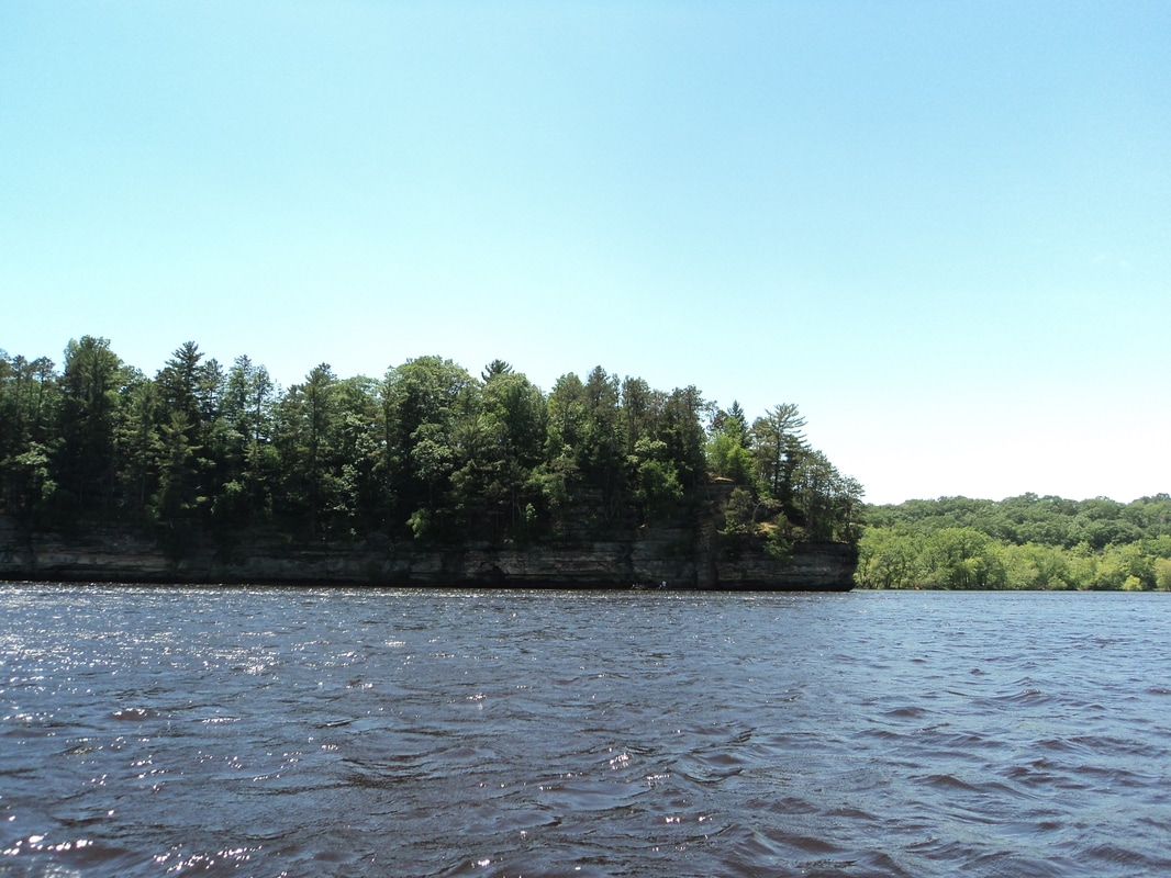
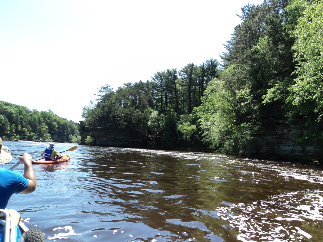
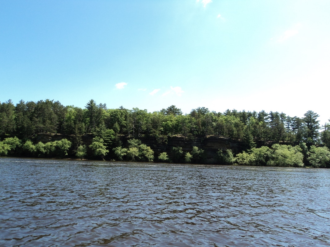
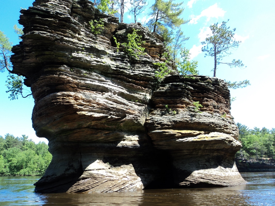
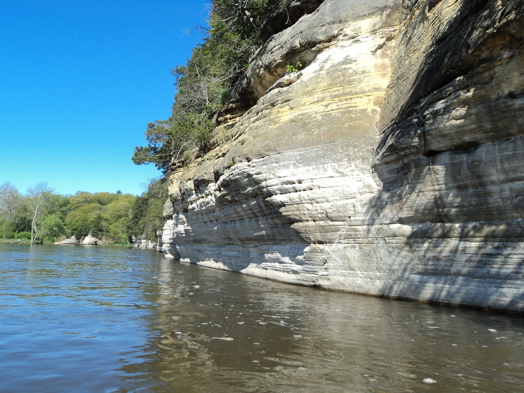
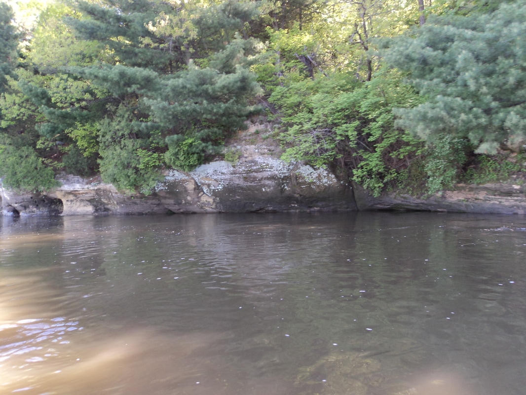
19 miles on the fox makes for a long day. Today I canoed 19 miles from Millhurst to Wedron. Current was up from recent rains, making for some spilled borders. It took about 5 hours, despite a strong headwind at the end halting progress. This trip takes you through the Dells area, known for it's cliff walls


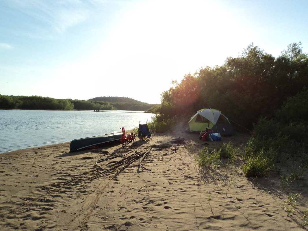
Suh Suh canoe launch is a riverside forest preserve in the millhurst area. Easy parking and boat lunch. Daytime parking is allowed, but no overnight. We took out at ayer's landing, where you can park overnight and personal boat launches are only $5 per boat.
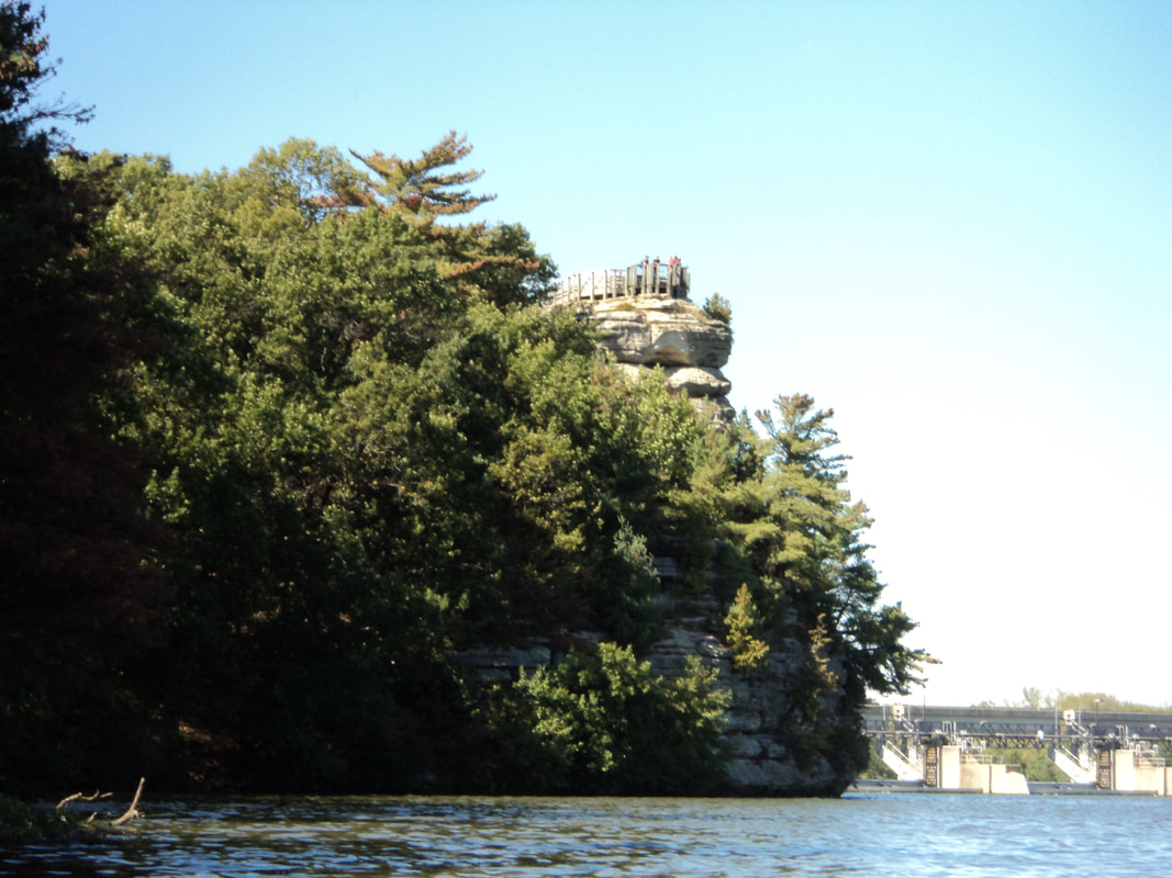
This is the most scene part of the lower fox river. It's a must see if you are in the area.
This is the most scene part of the lower fox river. It's a must see if you are in the area.


 RSS Feed